Medium airport · United States
Ruby AirportPARY
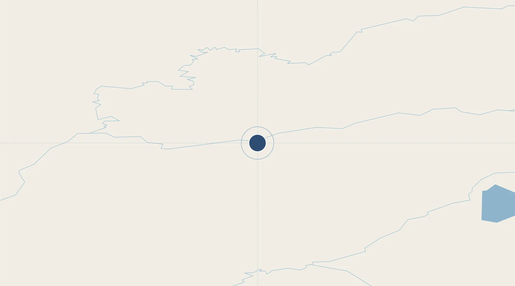
64.7272°, -155.4700°
4,000 ft
Longest runway
1
Runways
658 ft
Elevation
Runway & Layout

Radio Frequencies
ASOS
119.925 MHz
CTAF
122.8 MHz
CNTR
127 MHz
ANCHORAGE CNTR
FSS
122.2 MHz
FAIRBANKS RDO
Runways · 1
| Runway | Dimensions | Surface | True heading | Lit |
|---|---|---|---|---|
| 03/21 | 4,000 × 100ft | Gravel | 051° | ✓ |
Airport Specifications
IATA code
RBY
ICAO code
PARY
Airport class
Medium airport
Scheduled service
Yes
Runway surface
Gravel
Served city
Ruby
Location
Nearby Logistics Neighbours
Airports
- 1Edward G. Pitka Sr Airport70 km
- 2Koyukuk Airport108 km
- 3Huslia Airport116 km
- 4Hughes Airport156 km
- 5Indian Mountain LRRS Airport163 km
Cities
- 1Susitna434 km
- 2Houston446 km
- 3Port MacKenzie476 km
- 4Anchorage480 km
- 5Elmendorf Air Force Base481 km
Ports
- 1Unalakleet273 km
- 2Anchorage481 km
- 3Drift River495 km
- 4Nikiski495 km
- 5Kenai512 km
Trade Zones
- 1FTZ No. 195 Fairbanks367 km
- 2FTZ No. 160 Anchorage479 km
- 3FTZ No. 108 Valdez609 km
- 4FTZ No. 232 Kodiak813 km
- 5PrInce George Logistics Park2174 km
DatabookThe Record of Consolidated Knowledge
United States beyond logistics?