Small airport · United States
Koyukuk AirportPFKU
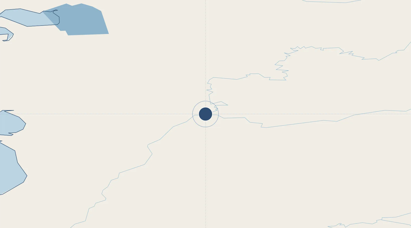
64.8761°, -157.7270°
4,000 ft
Longest runway
1
Runways
149 ft
Elevation
Runway & Layout

Runways · 1
| Runway | Dimensions | Surface | True heading | Lit |
|---|---|---|---|---|
| 07/25 | 4,000 × 75ft | GRVL-DIRT-G | 078° | ✓ |
Airport Specifications
IATA code
KYU
ICAO code
PFKU
Airport class
Small airport
Scheduled service
Yes
Runway surface
GRVL-DIRT-G
Served city
Koyukuk
Location
Nearby Logistics Neighbours
Airports
- 1Nulato Airport23 km
- 2Edward G. Pitka Sr Airport41 km
- 3Kaltag Airport79 km
- 4Ruby Airport108 km
- 5Huslia Airport112 km
Cities
- 1Sledge Island405 km
- 2Susitna518 km
- 3Houston535 km
- 4Port MacKenzie561 km
- 5Anchorage565 km
Ports
- 1Unalakleet184 km
- 2St. Michael260 km
- 3Deering267 km
- 4Kotzebue316 km
- 5Kotlik350 km
Trade Zones
- 1FTZ No. 195 Fairbanks473 km
- 2FTZ No. 160 Anchorage565 km
- 3FTZ No. 108 Valdez707 km
- 4FTZ No. 232 Kodiak851 km
- 5PrInce George Logistics Park2281 km
DatabookThe Record of Consolidated Knowledge
United States beyond logistics?