Medium airport · United States
Huslia AirportPAHL
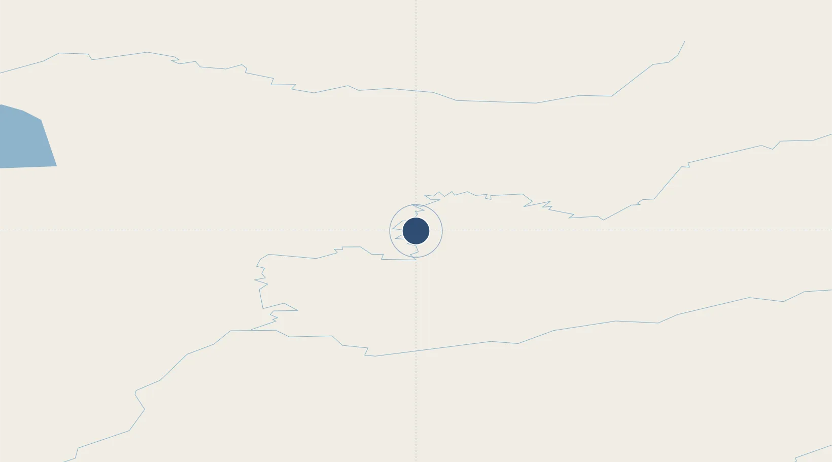
65.6979°, -156.3510°
4,000 ft
Longest runway
1
Runways
220 ft
Elevation
Runway & Layout

Radio Frequencies
AWOS
135.75 MHz
AWOS 3
CTAF
122.8 MHz
CNTR
127 MHz
ANCHORAGE CNTR
FSS
122.4 MHz
FAIRBANKS RDO
Runways · 1
| Runway | Dimensions | Surface | True heading | Lit |
|---|---|---|---|---|
| 03/21 | 4,000 × 75ft | Gravel | 051° | ✓ |
Airport Specifications
IATA code
HSL
ICAO code
PAHL
Airport class
Medium airport
Scheduled service
Yes
Runway surface
Gravel
Served city
Huslia
Location
Nearby Logistics Neighbours
Airports
- 1Hughes Airport102 km
- 2Edward G. Pitka Sr Airport110 km
- 3Koyukuk Airport112 km
- 4Ruby Airport116 km
- 5Nulato Airport134 km
Cities
- 1Sledge Island480 km
- 2Susitna545 km
- 3Houston555 km
- 4Port MacKenzie587 km
- 5Anchorage591 km
Ports
- 1Unalakleet291 km
- 2Deering293 km
- 3Kotzebue310 km
- 4St. Michael366 km
- 5Kotlik455 km
Trade Zones
- 1FTZ No. 195 Fairbanks412 km
- 2FTZ No. 160 Anchorage590 km
- 3FTZ No. 108 Valdez709 km
- 4FTZ No. 232 Kodiak926 km
- 5PrInce George Logistics Park2247 km
DatabookThe Record of Consolidated Knowledge
United States beyond logistics?