Small airport · United States
Hughes AirportPAHU
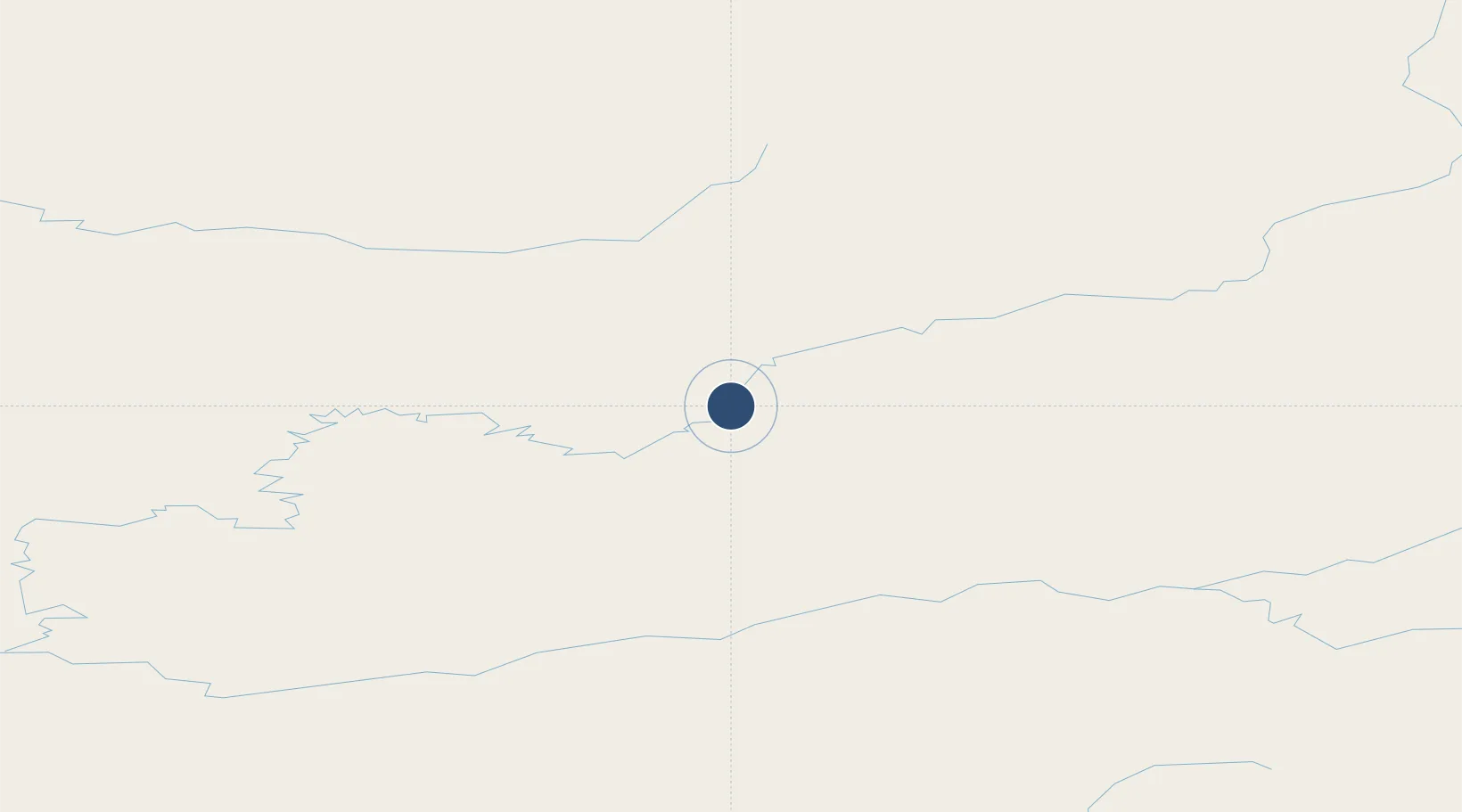
66.0411°, -154.2630°
3,380 ft
Longest runway
1
Runways
299 ft
Elevation
Runway & Layout

Runways · 1
| Runway | Dimensions | Surface | True heading | Lit |
|---|---|---|---|---|
| 17/35 | 3,380 × 100ft | GRAVEL-G | 193° | — |
Airport Specifications
IATA code
HUS
ICAO code
PAHU
Airport class
Small airport
Scheduled service
Yes
Runway surface
GRAVEL-G
Served city
Hughes
Location
Nearby Logistics Neighbours
Airports
- 1Indian Mountain LRRS Airport26 km
- 2Allakaket Airport93 km
- 3Huslia Airport102 km
- 4Ralph M Calhoun Memorial Airport138 km
- 5Kobuk Airport152 km
Cities
- 1Susitna534 km
- 2Houston536 km
- 3Port MacKenzie572 km
- 4Elmendorf Air Force Base576 km
- 5Anchorage576 km
Ports
- 1Kotzebue382 km
- 2Deering382 km
- 3Unalakleet389 km
- 4St. Michael465 km
- 5Prudhoe Bay534 km
Trade Zones
- 1FTZ No. 195 Fairbanks330 km
- 2FTZ No. 160 Anchorage576 km
- 3FTZ No. 108 Valdez670 km
- 4FTZ No. 232 Kodiak953 km
- 5PrInce George Logistics Park2173 km
DatabookThe Record of Consolidated Knowledge
United States beyond logistics?