Medium airport · United States
Indian Mountain LRRS AirportPAIM
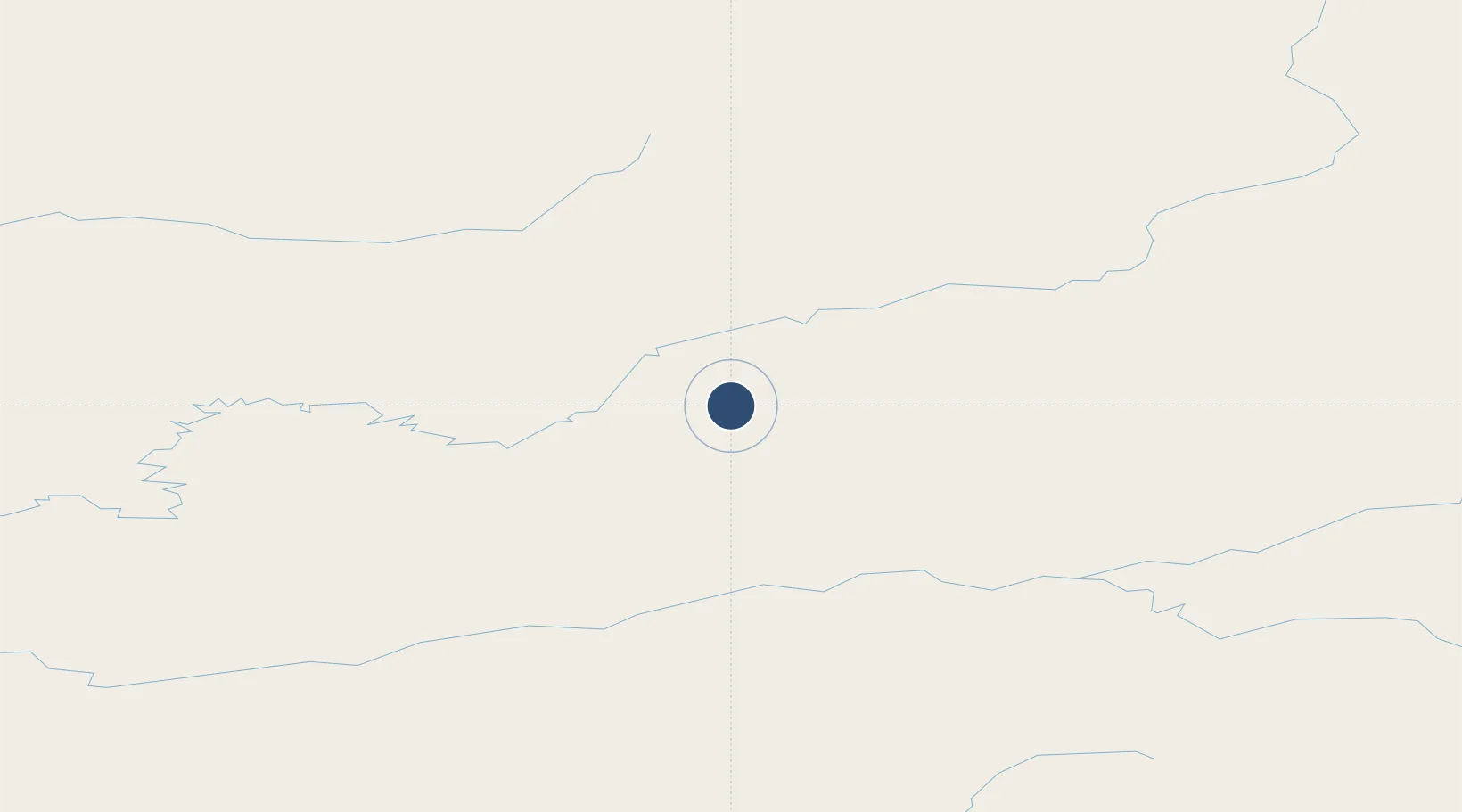
65.9928°, -153.7040°
4,100 ft
Longest runway
1
Runways
1,273 ft
Elevation
Runway & Layout

Radio Frequencies
CTAF
126.2 MHz
CNTR
124.6 MHz
ANCHORAGE CNTR
FSS
122.6 MHz
FAIRBANKS RDO
Navaids
UTO NDB Utopia Creek 272 kHz
Runways · 1
| Runway | Dimensions | Surface | True heading | Lit |
|---|---|---|---|---|
| 07/25 | 4,100 × 150ft | Gravel | 083° | ✓ |
Airport Specifications
IATA code
UTO
ICAO code
PAIM
Airport class
Medium airport
Scheduled service
Yes
Runway surface
Gravel
Served city
Utopia Creek
Location
Nearby Logistics Neighbours
Airports
- 1Hughes Airport26 km
- 2Allakaket Airport79 km
- 3Ralph M Calhoun Memorial Airport117 km
- 4Huslia Airport125 km
- 5Bettles Airport141 km
Cities
- 1Susitna520 km
- 2Houston521 km
- 3Port MacKenzie558 km
- 4Elmendorf Air Force Base561 km
- 5Anchorage562 km
Ports
- 1Prudhoe Bay529 km
- 2Anchorage563 km
- 3Wainwright578 km
- 4Barrow601 km
- 5Nikiski601 km
Trade Zones
- 1FTZ No. 195 Fairbanks305 km
- 2FTZ No. 160 Anchorage561 km
- 3FTZ No. 108 Valdez650 km
- 4FTZ No. 232 Kodiak948 km
- 5PrInce George Logistics Park2147 km
DatabookThe Record of Consolidated Knowledge
United States beyond logistics?