Medium airport · United States
Edward G. Pitka Sr AirportPAGA
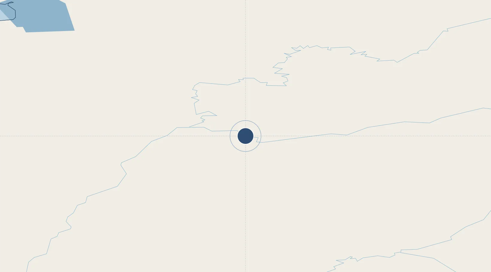
64.7362°, -156.9370°
6,000 ft
Longest runway
2
Runways
153 ft
Elevation
Runway & Layout

Radio Frequencies
AWOS
132.525 MHz
AWOS 3
CTAF
123 MHz
CNTR
127 MHz
ANCHORAGE CNTR
FSS
122.2 MHz
FAIRBANKS RDO
OPS
39.12 MHz
GALENA OPS
PMSV
134.5 MHz
PMSV METRO
Navaids
GAL VORTAC Galena 114.80 MHz
Runways · 2
| Runway | Dimensions | Surface | True heading | Lit |
|---|---|---|---|---|
| 08/26 | 6,000 × 100ft | Asphalt / concrete | 090° | ✓ |
| 06/24 | 2,600 × 50ft | Gravel | 090° | — |
Airport Specifications
IATA code
GAL
ICAO code
PAGA
Airport class
Medium airport
Scheduled service
Yes
Runway surface
Asphalt / concrete
Served city
Galena
Location
Nearby Logistics Neighbours
Airports
- 1Koyukuk Airport41 km
- 2Nulato Airport54 km
- 3Ruby Airport70 km
- 4Kaltag Airport98 km
- 5Huslia Airport110 km
Cities
- 1Sledge Island442 km
- 2Susitna481 km
- 3Houston496 km
- 4Port MacKenzie523 km
- 5Anchorage527 km
Ports
- 1Unalakleet208 km
- 2St. Michael284 km
- 3Deering307 km
- 4Kotzebue353 km
- 5Kotlik375 km
Trade Zones
- 1FTZ No. 195 Fairbanks437 km
- 2FTZ No. 160 Anchorage527 km
- 3FTZ No. 108 Valdez667 km
- 4FTZ No. 232 Kodiak826 km
- 5PrInce George Logistics Park2241 km
DatabookThe Record of Consolidated Knowledge
United States beyond logistics?