Small airport · United States
Koyuk Alfred Adams AirportPAKK
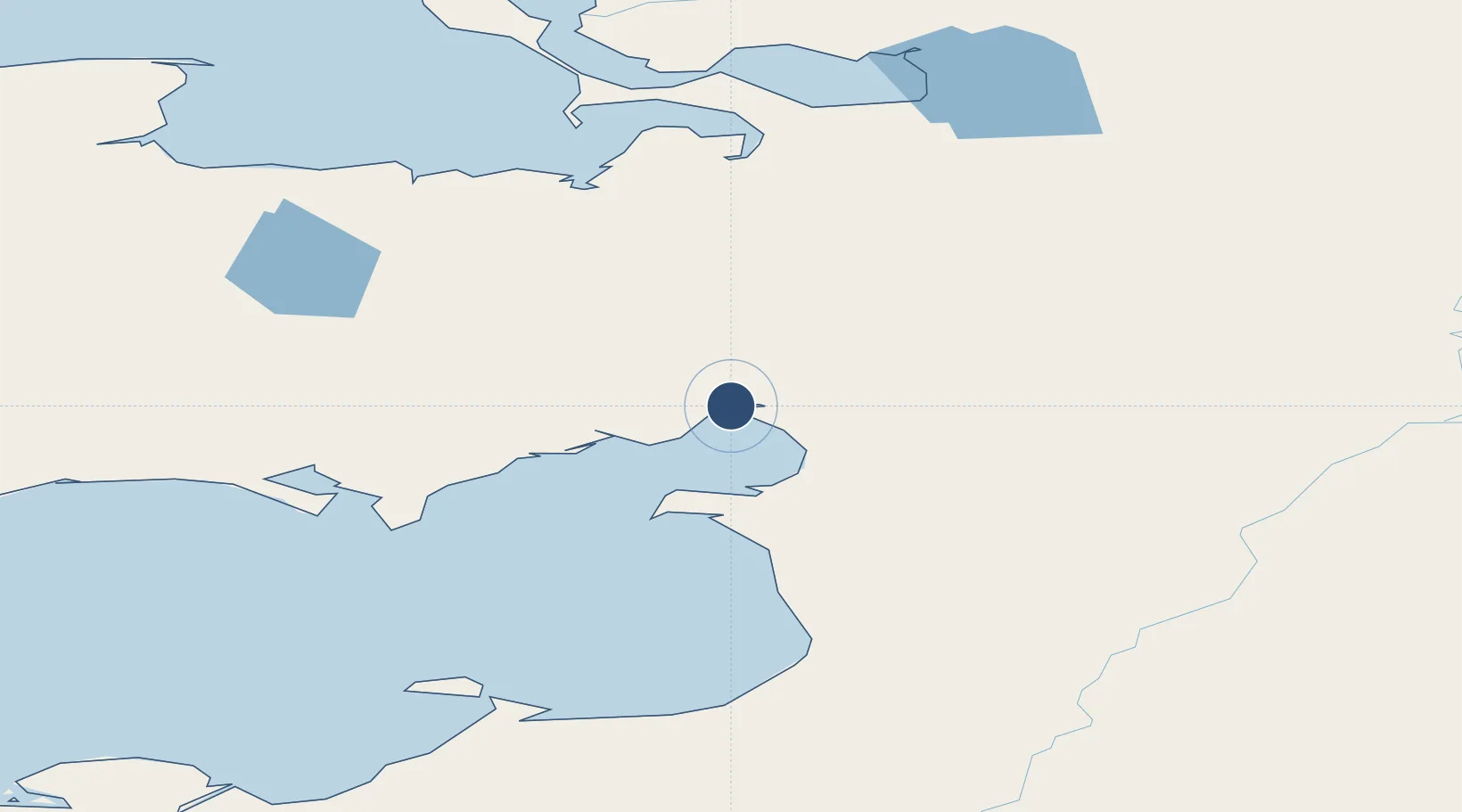
64.9395°, -161.1540°
3,002 ft
Longest runway
1
Runways
154 ft
Elevation
Runway & Layout

Navaids
KKA NDB-DME Koyuk 0.30 MHz
Runways · 1
| Runway | Dimensions | Surface | True heading | Lit |
|---|---|---|---|---|
| 01/19 | 3,002 × 60ft | GRVL-G | 024° | — |
Airport Specifications
IATA code
KKA
ICAO code
PAKK
Airport class
Small airport
Scheduled service
Yes
Runway surface
GRVL-G
Served city
Koyuk
Location
Nearby Logistics Neighbours
Airports
- 1Shaktoolik Airport63 km
- 2Elim Airport64 km
- 3Golovin Airport98 km
- 4White Mountain Airport111 km
- 5Buckland Airport116 km
Cities
- 1Sledge Island245 km
- 2Uelen421 km
- 3Lavrentiya463 km
- 4Provideniya, Bukhta580 km
- 5Susitna653 km
Ports
- 1Unalakleet119 km
- 2Deering147 km
- 3Solomon160 km
- 4St. Michael167 km
- 5Nome208 km
Trade Zones
- 1FTZ No. 195 Fairbanks633 km
- 2FTZ No. 160 Anchorage699 km
- 3FTZ No. 108 Valdez855 km
- 4FTZ No. 232 Kodiak921 km
- 5PrInce George Logistics Park2440 km
DatabookThe Record of Consolidated Knowledge
United States beyond logistics?