Medium airport · Iraq

Samarra East Air Base / Dhuluiya AirportIQ-0045
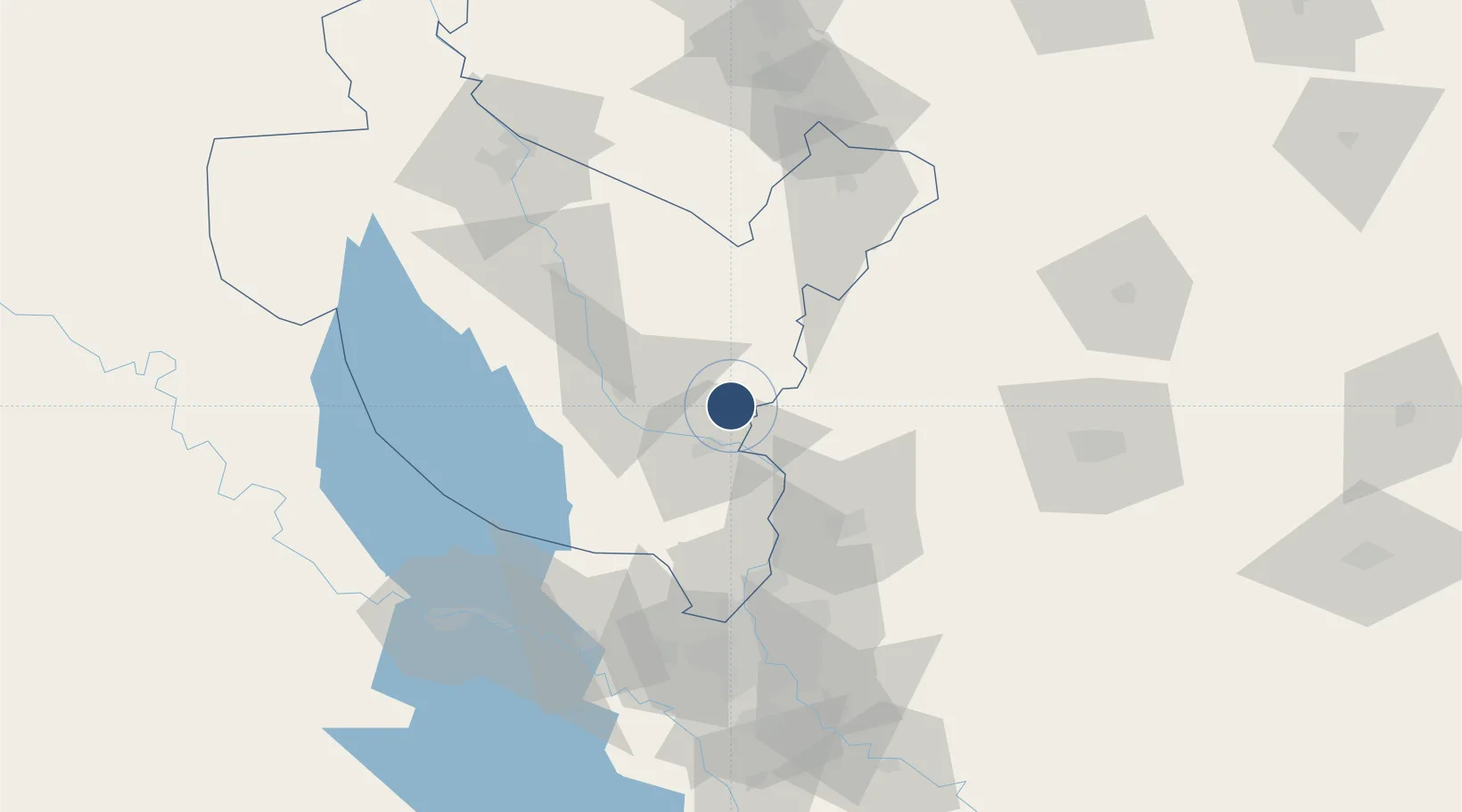
34.1655°, 44.2643°
203 ft
Elevation

Runway & Layout

Samarra East Air Base / Dhuluiya Airport runway & taxiway layout
Runway & taxiway layout — OpenStreetMap (ODbL) / OurAirports

Airport Specifications

Airport class
Medium airport
OurAirports
Scheduled service
No
OurAirports
Served city
Dhuluiya
OurAirports

Location

Location of IQ-0045
Natural Earth 10m (public domain) · Sala ad-Din · IQ-0045 · 34.17, 44.26GoogleOSMYandex

Nearby Logistics Neighbours

Airports
  1. 1Balad Southeast Airport / Joint Base Balad27 km
  2. 2Salum Air Base44 km
  3. 3Al Taji Army Air Field71 km
  4. 4Al Sahra Army Air Field87 km
  5. 5Tuz Khurmatu Air Base88 km
Nearest neighbours — logibook spatial index (haversine) over the source coordinates
Cities
  1. 1Balad22 km
  2. 2Samarra'37 km
  3. 3Ba'qubah57 km
  4. 4Taji72 km
  5. 5Baghdåd95 km
Nearest neighbours — logibook spatial index (haversine) over the source coordinates
Ports
  1. 1Al Basrah526 km
  2. 2Khorramshahr555 km
  3. 3Khawr Al Zubair560 km
  4. 4Abadan570 km
  5. 5Umm Qasr577 km
Nearest neighbours — logibook spatial index (haversine) over the source coordinates
Trade Zones
  1. 1Qasr-e-Shirin Special Economic Zone127 km
  2. 2Baneh Special Economic Zone255 km
  3. 3Lorestan Special Economic Zone324 km
  4. 4West Islamabad Special Economic Zone352 km
  5. 5Al Yarubiyah Free Zone356 km
Nearest neighbours — logibook spatial index (haversine) over the source coordinates
DatabookThe Record of Consolidated Knowledge
Iraq beyond logistics?
Browse databook

All Sources

AirportsOurAirports
Public domain
Portsthe NGA World Port Index
Public domain (US gov)
LocationsUN/LOCODE
UN/LOCODE — free
Trade Zonesthe World Bank SEZ database
CC BY 4.0
Trade ZonesOpen Zone Map
CC BY
InfrastructureOpenStreetMap
ODbL 1.0
← Iraq airports