Large airport · Iran

Qasem Soleimani International AirportOIAW
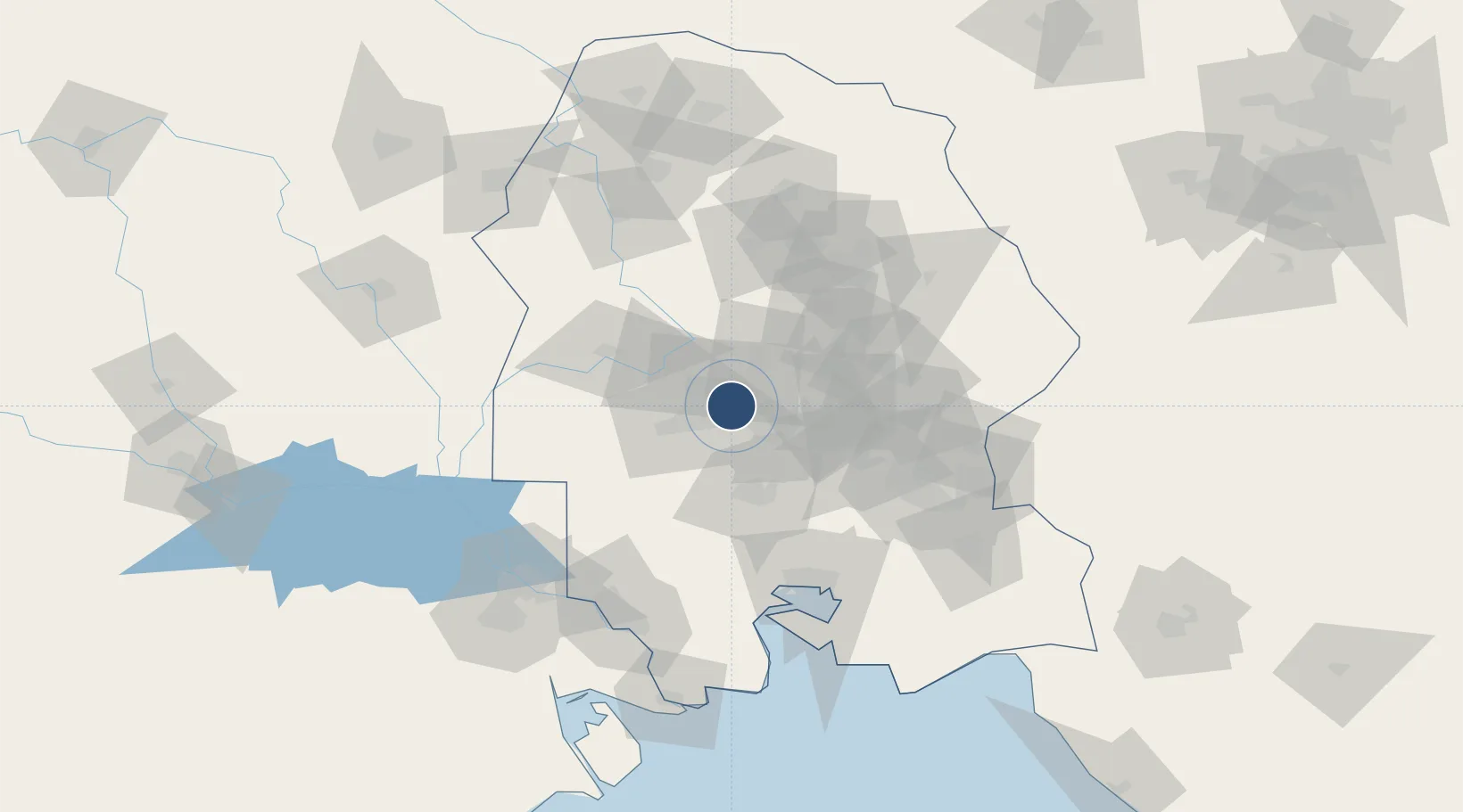
31.3364°, 48.7638°
11,149 ft
Longest runway
1
Runways
66 ft
Elevation

Runway & Layout

Qasem Soleimani International Airport runway & taxiway layout
Runway & taxiway layout — OpenStreetMap (ODbL) / OurAirports

Radio Frequencies

ATIS
126.4 MHz
TWR
120.85 MHz
GND
121.1 MHz
OurAirports

Navaids

AWZ VOR-DME Ahwaz 114.00 MHz
AWZ NDB Ahwaz 415 kHz
OurAirports

Runways · 1

RunwayDimensions SurfaceTrue headingLit
12/30 11,149 × 148ft Asphalt 124°
OurAirports

Airport Specifications

IATA code
AWZ
OurAirports
ICAO code
OIAW
OurAirports
Airport class
Large airport
OurAirports
Scheduled service
Yes
OurAirports
Runway surface
Asphalt
OurAirports
Served city
Ahvaz
OurAirports

Location

Location of OIAW
Natural Earth 10m (public domain) · Khuzestan · OIAW · 31.34, 48.76GoogleOSMYandex

Nearby Logistics Neighbours

Airports
  1. 1Shahid Asiyaee Airport88 km
  2. 2Mahshahr Airport94 km
  3. 3Aghajari Airport109 km
  4. 4Abadan Ayatollah Jami International Airport119 km
  5. 5Dezful Airport127 km
Nearest neighbours — logibook spatial index (haversine) over the source coordinates
Cities
  1. 1Bandar Mashur96 km
  2. 2Bandar-e Måh Shahr97 km
  3. 3Bandar-e Emam Khomeyni105 km
  4. 4Bandar Khomeini105 km
  5. 5Imam Khomeini Pt/ Mahshahr City106 km
Nearest neighbours — logibook spatial index (haversine) over the source coordinates
Ports
  1. 1Bandar-E Mahshahr105 km
  2. 2Bandar Khomeyni105 km
  3. 3Khorramshahr115 km
  4. 4Abadan121 km
  5. 5Al Basrah127 km
Nearest neighbours — logibook spatial index (haversine) over the source coordinates
Trade Zones
  1. 1Petrochemical Special Economic Zone101 km
  2. 2Imam Khomeini Port103 km
  3. 3Arvand Trade Industrial Free Zone118 km
  4. 4Al Abdali Free Economic Zone191 km
  5. 5Shahrekord ShahrKord Special Economic Zone222 km
Nearest neighbours — logibook spatial index (haversine) over the source coordinates
DatabookThe Record of Consolidated Knowledge
Iran beyond logistics?
Browse databook

All Sources

AirportsOurAirports
Public domain
Portsthe NGA World Port Index
Public domain (US gov)
LocationsUN/LOCODE
UN/LOCODE — free
Trade Zonesthe World Bank SEZ database
CC BY 4.0
Trade ZonesOpen Zone Map
CC BY
InfrastructureOpenStreetMap
ODbL 1.0
← Iran airports