UN/LOCODE hub · Iran
IRBIK

Imam Khomeini Pt/ Mahshahr City

30.4167°, 49.0667°
1
Transport functions

Transport Functions

Port
UN/LOCODE

Hub Profile

Region
10
GeoNames

Location

Location of IRBIK
Natural Earth 10m (public domain) · 10 · IRBIK · 30.42, 49.07GoogleOSMYandex

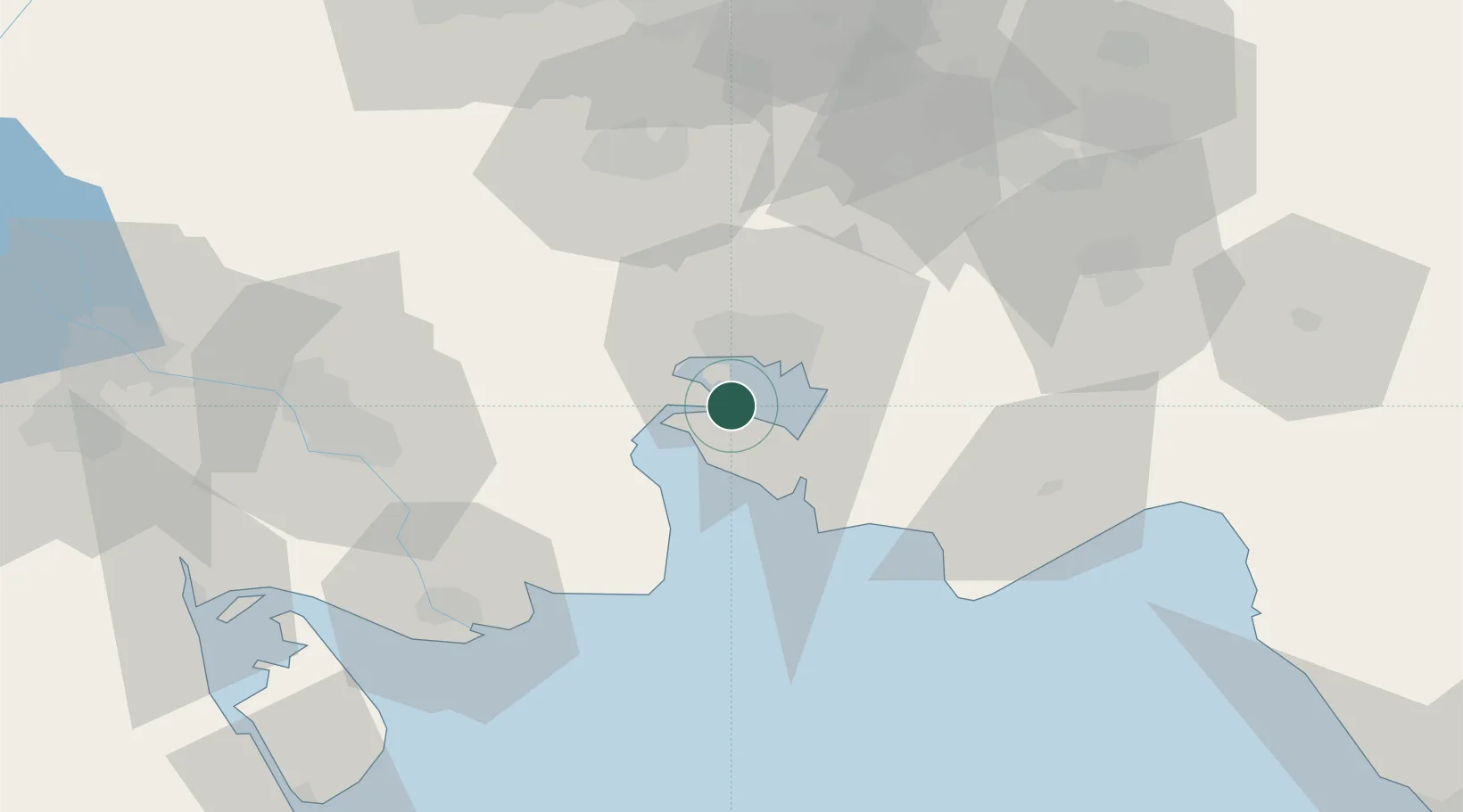
Nearby Logistics Neighbours

Cities
  1. 1Bandar-e Emam Khomeyni4 km
  2. 2Bandar Khomeini4 km
  3. 3Bandar-e Måh Shahr16 km
  4. 4Bandar Mashur19 km
  5. 5Basrah Oil Terminal78 km
Nearest neighbours — logibook spatial index (haversine) over the source coordinates
Ports
  1. 1Bandar Khomeyni2 km
  2. 2Bandar-E Mahshahr13 km
  3. 3Khawr Al Amaya75 km
  4. 4Abadan76 km
  5. 5Khorramshahr85 km
Nearest neighbours — logibook spatial index (haversine) over the source coordinates
Airports
  1. 1Mahshahr Airport18 km
  2. 2Aghajari Airport69 km
  3. 3Abadan Ayatollah Jami International Airport80 km
  4. 4Qasem Soleimani International Airport106 km
  5. 5Basra International Airport135 km
Nearest neighbours — logibook spatial index (haversine) over the source coordinates
Trade Zones
  1. 1Imam Khomeini Port4 km
  2. 2Petrochemical Special Economic Zone7 km
  3. 3Arvand Trade Industrial Free Zone82 km
  4. 4Bushehr Northern Special Economic Zone143 km
  5. 5Al Abdali Free Economic Zone155 km
Nearest neighbours — logibook spatial index (haversine) over the source coordinates
DatabookThe Record of Consolidated Knowledge
Iran beyond logistics?
Browse databook

All Sources

LocationsUN/LOCODE
UN/LOCODE — free
Portsthe NGA World Port Index
Public domain (US gov)
AirportsOurAirports
Public domain
Trade Zonesthe World Bank SEZ database
CC BY 4.0
Trade ZonesOpen Zone Map
CC BY
← Iran locations