Diversified Zone · Iran
West Islamabad Special Economic Zone Active
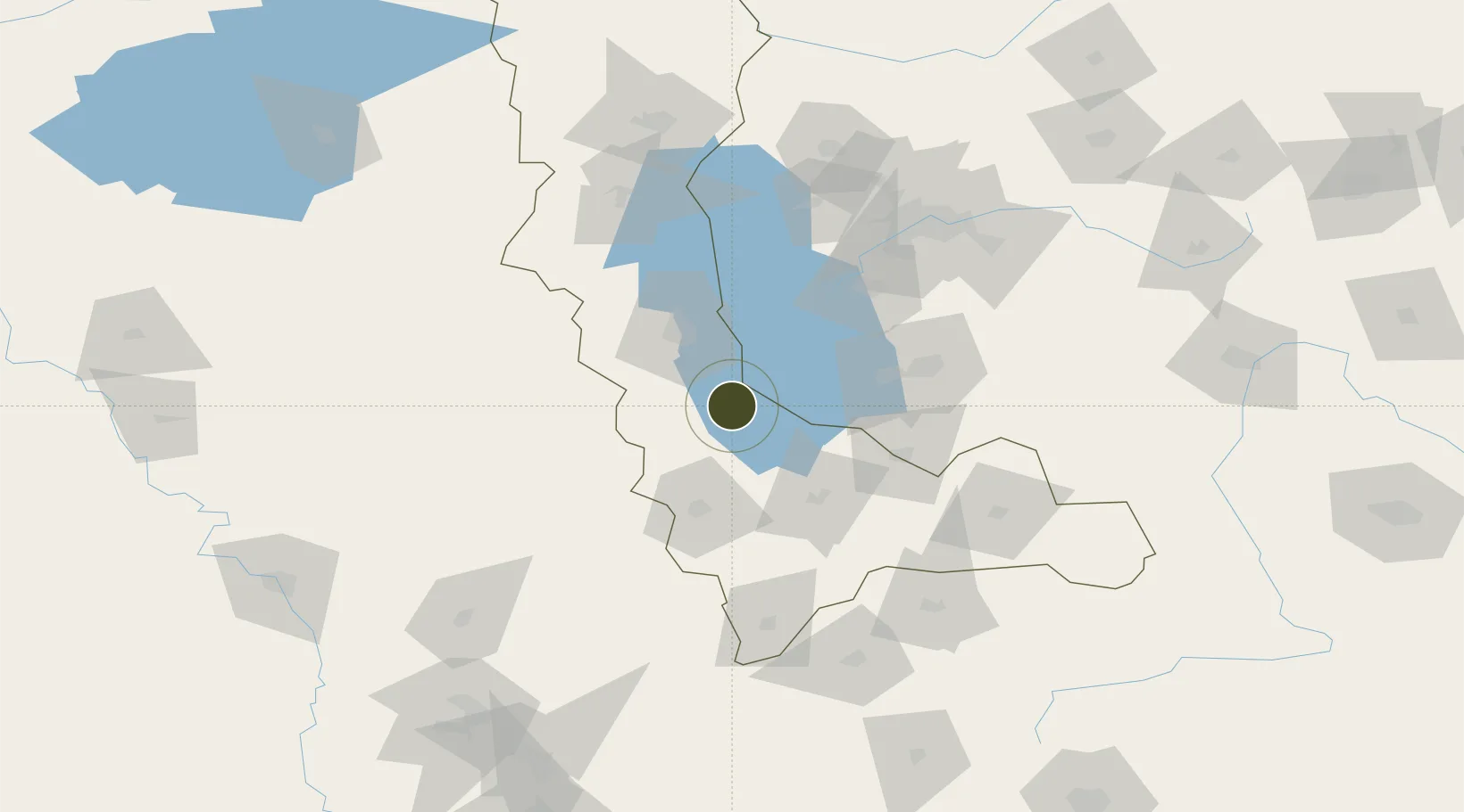
37.2169°, 45.3072°
2,458,600 ha
Zone area
575.2 km
Nearest port
54.4 km
Nearest airport
Gateway access
Zone profile
Zone type
Diversified Zone
Region
West Azarbaijan
Status
Active
Management
Private
Operator
Zagros Special Economic Zone Company
Legal framework
Law of Establishment and Administration of Special Economic Zones of Islamic Republic of Iran
Location
Nearby Logistics Neighbours
Ports
- 1Hopa575 km
- 2Batumi584 km
- 3Rize595 km
- 4Supsa Marine Terminal624 km
- 5Trabzon638 km
Airports
- 1Urmia Airport54 km
- 2Hakkari Yüksekova Airport101 km
- 3Tabriz International Airport131 km
- 4Erbil International Airport163 km
- 5Sulaymaniyah International Airport184 km
Cities
- 1Piran Shahr61 km
- 2Khosrowshahr104 km
- 3Irbil160 km
- 4Arbil164 km
- 5Kapiköy168 km
Trade Zones
- 1Salmas Special Economic Zone121 km
- 2Sahlan Special Economic Zone129 km
- 3Baneh Special Economic Zone144 km
- 4Aras Trade Industrial Free Zone193 km
- 5Meghri Free Economic Zone205 km
DatabookThe Record of Consolidated Knowledge
Iran beyond logistics?