Transport Functions
Road
Multimodal
Hub Profile
Place type
Populated place
Region
Opole Voivodeship
Time zone
Europe/Warsaw
Elevation
161 m
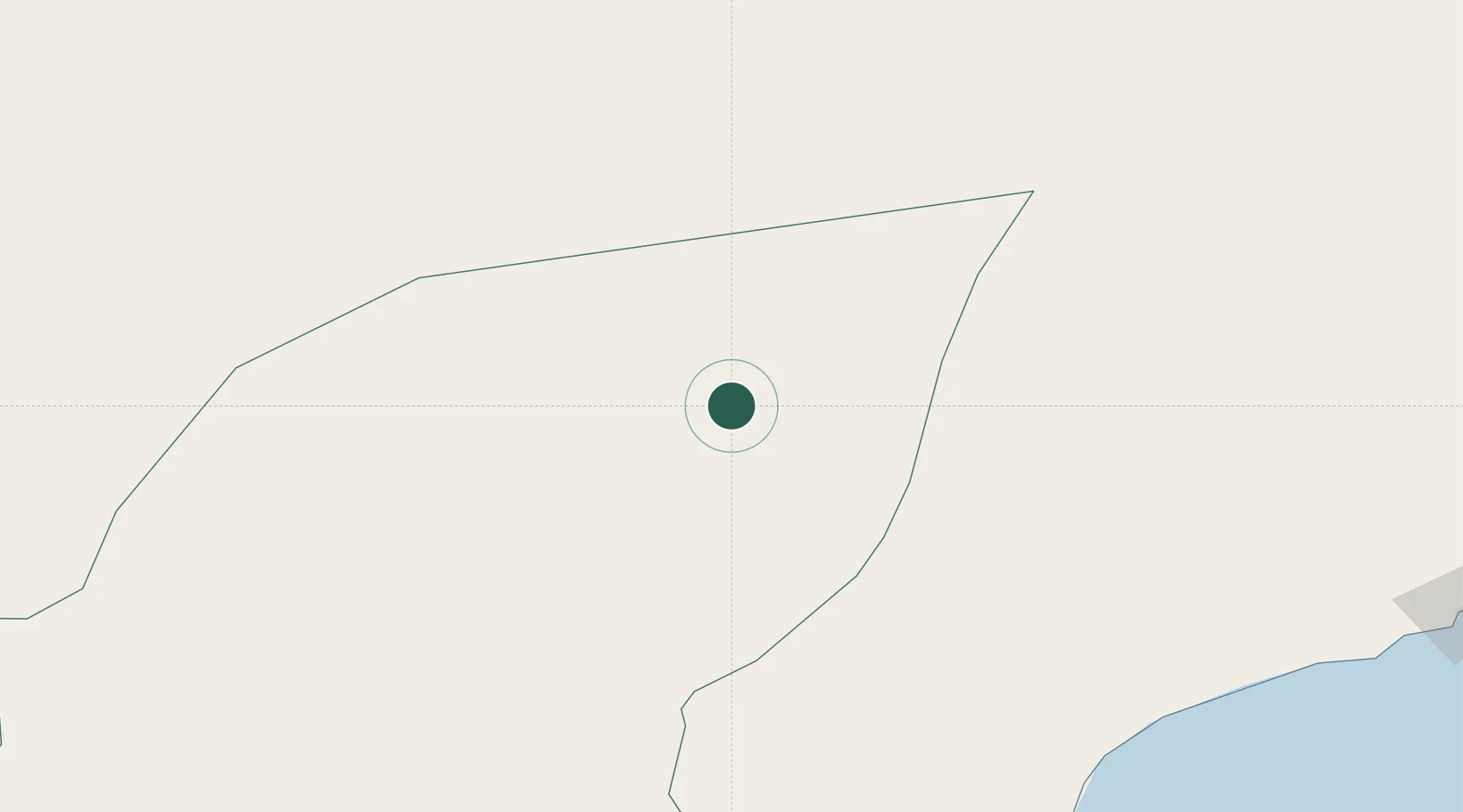
Location
Nearby Logistics Neighbours
Cities
- 1Al Mazunah223 km
- 2Salalah385 km
- 3Mukalla411 km
- 4Al Mukalla412 km
- 5Suqutrá713 km
Ports
- 1Nishtun298 km
- 2Ash Shihr Oil Terminal380 km
- 3Mina Raysut388 km
- 4Al Mukalla412 km
- 5Balhaf511 km
Airports
- 1Al Ghaydah International Airport263 km
- 2Seiyun Hadhramaut International Airport290 km
- 3Sharurah Domestic Airport366 km
- 4Thumrait Air Base371 km
- 5Riyan International Airport388 km
Trade Zones
- 1Al Mazunah Free Zone224 km
- 2Salalah Ṣalālah Free Zone386 km
- 3Najran Industrial City657 km
- 4Al-Kharj Industrial City744 km
- 5Duqm Special Economic Zone779 km
DatabookThe Record of Consolidated Knowledge
Poland beyond logistics?