Medium airport · Yemen
Socotra AirportOYSQ
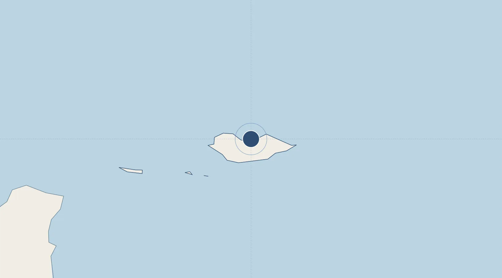
12.6321°, 53.9062°
10,827 ft
Longest runway
1
Runways
146 ft
Elevation
Runway & Layout

Radio Frequencies
TWR
118.1 MHz
GND
121.6 MHz
A/G
759.5 MHz
RDO
Navaids
SCT NDB Socotra 280 kHz
Runways · 1
| Runway | Dimensions | Surface | True heading | Lit |
|---|---|---|---|---|
| 03/21 | 10,827 × 148ft | Asphalt | 026° | ✓ |
Airport Specifications
IATA code
SCT
ICAO code
OYSQ
Airport class
Medium airport
Scheduled service
Yes
Runway surface
Asphalt
Served city
Mori
Location
Nearby Logistics Neighbours
Airports
- 1Al Ghaydah International Airport438 km
- 2Salalah International Airport490 km
- 3Riyan International Airport539 km
- 4Bender Qassim International Airport540 km
- 5Thumrait Air Base560 km
Cities
- 1Suqutrá18 km
- 2Salalah479 km
- 3Mukalla555 km
- 4Al Mukalla559 km
- 5Al Mazunah594 km
Ports
- 1Nishtun399 km
- 2Mina Raysut480 km
- 3Ash Shihr Oil Terminal530 km
- 4Boosaaso535 km
- 5Al Mukalla559 km
Trade Zones
- 1Salalah Ṣalālah Free Zone492 km
- 2Al Mazunah Free Zone594 km
- 3Duqm Special Economic Zone881 km
- 4Aden Free Zone968 km
- 5Berbera Economic Free Zone1001 km
DatabookThe Record of Consolidated Knowledge
Yemen beyond logistics?