Transport Functions
Port
Airport
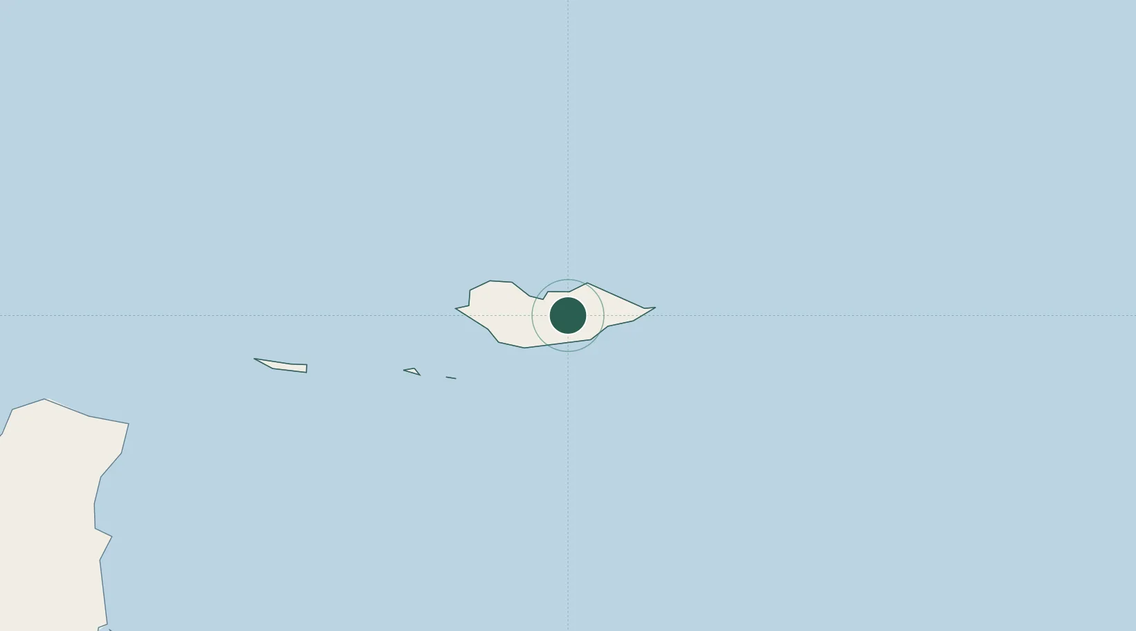
Location
Nearby Logistics Neighbours
Cities
- 1Salalah494 km
- 2Mukalla571 km
- 3Al Mukalla574 km
- 4Al Mazunah611 km
- 5Habaching641 km
Ports
- 1Nishtun417 km
- 2Mina Raysut495 km
- 3Boosaaso541 km
- 4Ash Shihr Oil Terminal546 km
- 5Al Mukalla574 km
Airports
Trade Zones
- 1Salalah Ṣalālah Free Zone506 km
- 2Al Mazunah Free Zone611 km
- 3Duqm Special Economic Zone890 km
- 4Aden Free Zone979 km
- 5Berbera Economic Free Zone1007 km
DatabookThe Record of Consolidated Knowledge
Yemen beyond logistics?