Medium airport · Yemen
Al Ghaydah International AirportOYGD
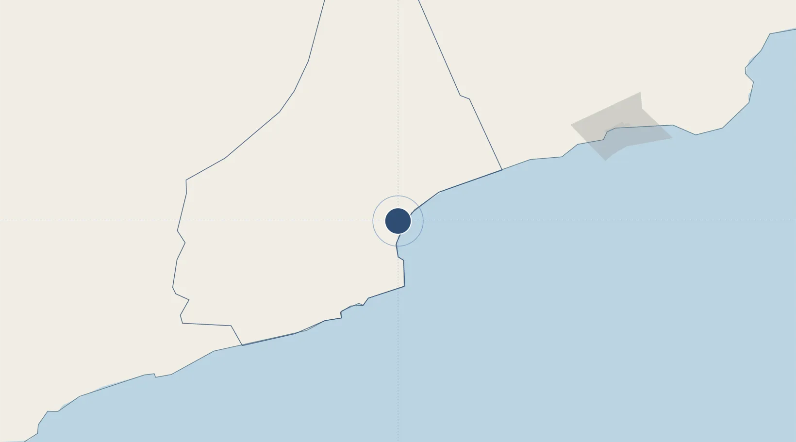
16.1933°, 52.1742°
8,858 ft
Longest runway
1
Runways
134 ft
Elevation
Runway & Layout

Radio Frequencies
TWR
119.3 MHz
GND
121.6 MHz
RDO
759.5 MHz
A/G
Navaids
GDA NDB Al Ghaidah 354 kHz
Runways · 1
| Runway | Dimensions | Surface | True heading | Lit |
|---|---|---|---|---|
| 08/26 | 8,858 × 148ft | Asphalt | 082° | ✓ |
Airport Specifications
IATA code
AAY
ICAO code
OYGD
Airport class
Medium airport
Scheduled service
Yes
Runway surface
Asphalt
Served city
Al Ghaydah
Location
Nearby Logistics Neighbours
Airports
- 1Salalah International Airport225 km
- 2Thumrait Air Base256 km
- 3Riyan International Airport345 km
- 4Seiyun Hadhramaut International Airport363 km
- 5Socotra Airport438 km
Cities
- 1Al Mazunah189 km
- 2Salalah211 km
- 3Chorula263 km
- 4Mukalla374 km
- 5Al Mukalla377 km
Ports
- 1Nishtun42 km
- 2Mina Raysut215 km
- 3Ash Shihr Oil Terminal333 km
- 4Al Mukalla377 km
- 5Balhaf495 km
Trade Zones
- 1Al Mazunah Free Zone190 km
- 2Salalah Ṣalālah Free Zone221 km
- 3Duqm Special Economic Zone702 km
- 4Najran Industrial City847 km
- 5Aden Free Zone859 km
DatabookThe Record of Consolidated Knowledge
Yemen beyond logistics?