UN/LOCODE hub · Oman
OMSLL
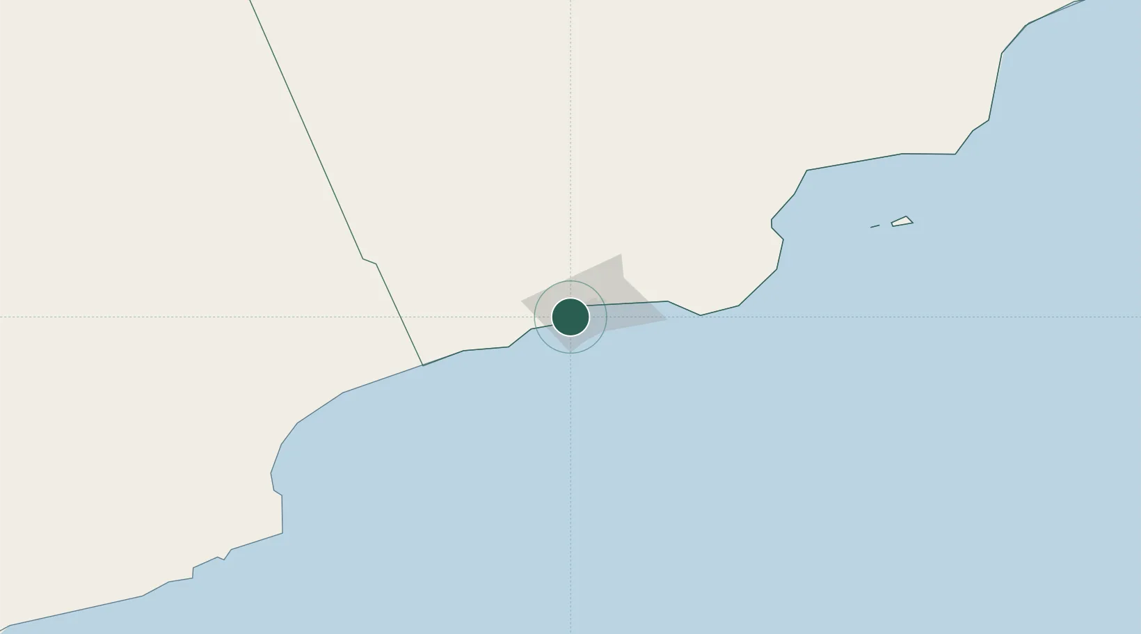
Salalah
16.9414°, 53.9953°
163,140
Population
2
Transport functions
1
Container terminals
Transport Functions
Port
Airport
Hub Profile
Place type
Regional capital
Region
Dhofar
Population
163,140
Time zone
Asia/Muscat
Elevation
13 m
Logistics facilities
1
Container terminals
1
Location
Nearby Logistics Neighbours
Cities
- 1Al Mazunah175 km
- 2Chorula385 km
- 3Suqutrá494 km
- 4Duqm498 km
- 5Mukalla584 km
Ports
- 1Nishtun229 km
- 2Duqm497 km
- 3Ash Shihr Oil Terminal543 km
- 4Al Mukalla588 km
- 5Balhaf705 km
Airports
- 1Salalah International Airport15 km
- 2Thumrait Air Base81 km
- 3Al Ghaydah International Airport211 km
- 4Duqm International Airport478 km
- 5Socotra Airport479 km
Trade Zones
- 1Salalah Ṣalālah Free Zone13 km
- 2Al Mazunah Free Zone174 km
- 3Duqm Special Economic Zone496 km
- 4Al Ain Industrial City811 km
- 5Industrial City of Abu Dhabi (ICAD)817 km
DatabookThe Record of Consolidated Knowledge
Oman beyond logistics?