Free Trade Zone · Oman

Al Mazunah Free Zone Active
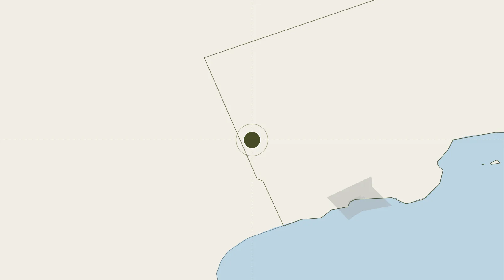
17.8377°, 52.6502°
300 ha
Zone area
176.4 km
Nearest port
146.8 km
Nearest airport

Gateway access

Nearest neighbours — logibook spatial index (haversine) over the source coordinates

Zone profile

Zone type
Free Trade Zone
Open Zone Map
Region
Dhofar
Open Zone Map
Status
Active
Open Zone Map
Management
Public
Open Zone Map
Operator
Public Establishment for Industrial Estates - Madayn
Open Zone Map
Legal framework
The Royal Decree 56/2004, Royal Decree 103/2005
Open Zone Map

Location

Location of ozm-3018
Natural Earth 10m (public domain) · Dhofar · ozm-3018 · 17.84, 52.65GoogleOSMYandex

Nearby Logistics Neighbours

Ports
  1. 1Mina Raysut176 km
  2. 2Nishtun230 km
  3. 3Ash Shihr Oil Terminal486 km
  4. 4Al Mukalla528 km
  5. 5Duqm571 km
Nearest neighbours — logibook spatial index (haversine) over the source coordinates
Airports
  1. 1Thumrait Air Base147 km
  2. 2Salalah International Airport177 km
  3. 3Al Ghaydah International Airport190 km
  4. 4Seiyun Hadhramaut International Airport461 km
  5. 5Aradah Airport466 km
Nearest neighbours — logibook spatial index (haversine) over the source coordinates
Cities
  1. 1Al Mazunah2 km
  2. 2Salalah174 km
  3. 3Chorula224 km
  4. 4Mukalla525 km
  5. 5Al Mukalla528 km
Nearest neighbours — logibook spatial index (haversine) over the source coordinates
Trade Zones
  1. 1Salalah Ṣalālah Free Zone172 km
  2. 2Duqm Special Economic Zone571 km
  3. 3Industrial City of Abu Dhabi (ICAD)740 km
  4. 4Abu Dhabi Construction City Building Material City749 km
  5. 5TwoFour54 Free Zone757 km
Nearest neighbours — logibook spatial index (haversine) over the source coordinates
DatabookThe Record of Consolidated Knowledge
Oman beyond logistics?
Browse databook

All Sources

Trade ZonesOpen Zone Map
CC BY
Portsthe NGA World Port Index
Public domain (US gov)
AirportsOurAirports
Public domain
LocationsUN/LOCODE
UN/LOCODE — free
← Oman trade zones