UN/LOCODE hub · Oman
OMAMZ

Al Mazunah

17.8333°, 52.6333°
2
Transport functions

Transport Functions

Road
Multimodal
UN/LOCODE

Hub Profile

Region
ZU
GeoNames

Location

Location of OMAMZ
Natural Earth 10m (public domain) · ZU · OMAMZ · 17.83, 52.63GoogleOSMYandex

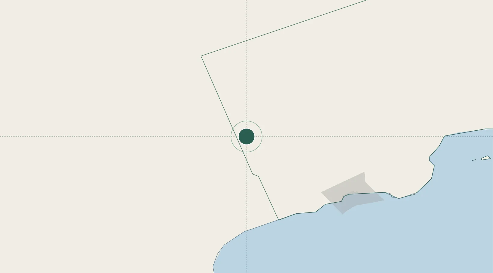
Nearby Logistics Neighbours

Cities
  1. 1Salalah175 km
  2. 2Chorula223 km
  3. 3Mukalla524 km
  4. 4Al Mukalla526 km
  5. 5Duqm574 km
Nearest neighbours — logibook spatial index (haversine) over the source coordinates
Ports
  1. 1Mina Raysut178 km
  2. 2Nishtun229 km
  3. 3Ash Shihr Oil Terminal484 km
  4. 4Al Mukalla526 km
  5. 5Duqm573 km
Nearest neighbours — logibook spatial index (haversine) over the source coordinates
Airports
  1. 1Thumrait Air Base149 km
  2. 2Salalah International Airport178 km
  3. 3Al Ghaydah International Airport189 km
  4. 4Seiyun Hadhramaut International Airport459 km
  5. 5Aradah Airport468 km
Nearest neighbours — logibook spatial index (haversine) over the source coordinates
Trade Zones
  1. 1Al Mazunah Free Zone2 km
  2. 2Salalah Ṣalālah Free Zone173 km
  3. 3Duqm Special Economic Zone573 km
  4. 4Industrial City of Abu Dhabi (ICAD)741 km
  5. 5Abu Dhabi Construction City Building Material City750 km
Nearest neighbours — logibook spatial index (haversine) over the source coordinates
DatabookThe Record of Consolidated Knowledge
Oman beyond logistics?
Browse databook

All Sources

LocationsUN/LOCODE
UN/LOCODE — free
Portsthe NGA World Port Index
Public domain (US gov)
AirportsOurAirports
Public domain
Trade Zonesthe World Bank SEZ database
CC BY 4.0
Trade ZonesOpen Zone Map
CC BY
← Oman locations