Channel & Berth Profile
Pilotage, Tugs & Services
Pilotage compulsoryYES
Pilotage availableYES
Pilotage advisableYES
Local assistanceYES
Tug assistanceYES
Salvage tugsNO
Potable waterYES
Diesel bunkersYES
MedicalYES
Garbage disposalYES
Facilities & Capabilities
Container—
Ro-Ro—
Liquid bulk—
Dry bulk—
Oil terminal—
Break bulk—
Dry dockNO
RepairsNO
BunkeringYES
Rail link—
Dangerous cargo—
ISPS security—
Harbour Specifications
Harbour size
Small
Harbour type
Coastal (Breakwater)
Shelter
Fair
Water body
Gulf of Aden; Indian Ocean
Tidal range
1 m
Pilotage
Yes
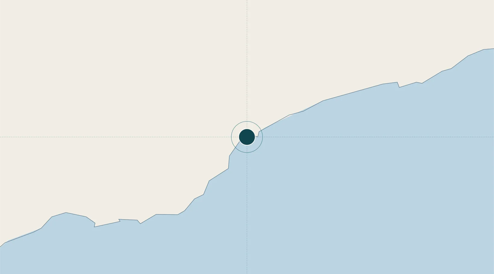
Location
Nearby Logistics Neighbours
Ports
- 1Ash Shihr Oil Terminal44 km
- 2Balhaf118 km
- 3Boosaaso360 km
- 4Nishtun361 km
- 5Aden490 km
Airports
Trade Zones
- 1Aden Free Zone484 km
- 2Al Mazunah Free Zone528 km
- 3Salalah Ṣalālah Free Zone598 km
- 4Najran Industrial City614 km
- 5Berbera Economic Free Zone637 km
DatabookThe Record of Consolidated Knowledge
Yemen beyond logistics?