Free Trade Zone · United Arab Emirates

Industrial City of Abu Dhabi (ICAD) Active
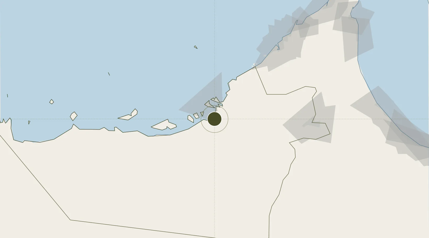
24.2772°, 54.4671°
4,000 ha
Zone area
19.3 km
Nearest port
8.8 km
Nearest airport

Gateway access

Nearest neighbours — logibook spatial index (haversine) over the source coordinates

Zone profile

Zone type
Free Trade Zone
Open Zone Map
Region
Abu Dhabi
Open Zone Map
Status
Active
Open Zone Map
Management
Public
Open Zone Map
Operator
ZonesCorp
Open Zone Map
Legal framework
Federal Law No. 8 of 2004 Concerning Financial Free Zones
Open Zone Map

Location

Location of ozm-4645
Natural Earth 10m (public domain) · Abu Dhabi · ozm-4645 · 24.28, 54.47GoogleOSMYandex

Nearby Logistics Neighbours

Ports
  1. 1Umm An Nar19 km
  2. 2Abu Zaby28 km
  3. 3Mubarraz Oil Terminal98 km
  4. 4Mina Jabal Ali101 km
  5. 5Dubayy139 km
Nearest neighbours — logibook spatial index (haversine) over the source coordinates
Airports
  1. 1Al Dhafra Air Base9 km
  2. 2Al Bateen Executive Airport17 km
  3. 3Sas Al Nakheel Air Base19 km
  4. 4Zayed International Airport26 km
  5. 5Al Maktoum International Airport98 km
Nearest neighbours — logibook spatial index (haversine) over the source coordinates
Cities
  1. 1Esnnad5 km
  2. 2Musaffah12 km
  3. 3Umm Al Nar18 km
  4. 4Mina Zayed/Abu Dhabi29 km
  5. 5Sadiyat Island29 km
Nearest neighbours — logibook spatial index (haversine) over the source coordinates
Trade Zones
  1. 1TwoFour54 Free Zone17 km
  2. 2Abu Dhabi Construction City Building Material City18 km
  3. 3Masdar City Free Zone23 km
  4. 4Abu Dhabi Airport Free Zone (ADAFZ)24 km
  5. 5Abu Dhabi Global Markets (ADGM)26 km
Nearest neighbours — logibook spatial index (haversine) over the source coordinates
DatabookThe Record of Consolidated Knowledge
United Arab Emirates beyond logistics?
Browse databook

All Sources

Trade ZonesOpen Zone Map
CC BY
Portsthe NGA World Port Index
Public domain (US gov)
AirportsOurAirports
Public domain
LocationsUN/LOCODE
UN/LOCODE — free
← United Arab Emirates trade zones