Large airport · Oman
Salalah International AirportOOSA
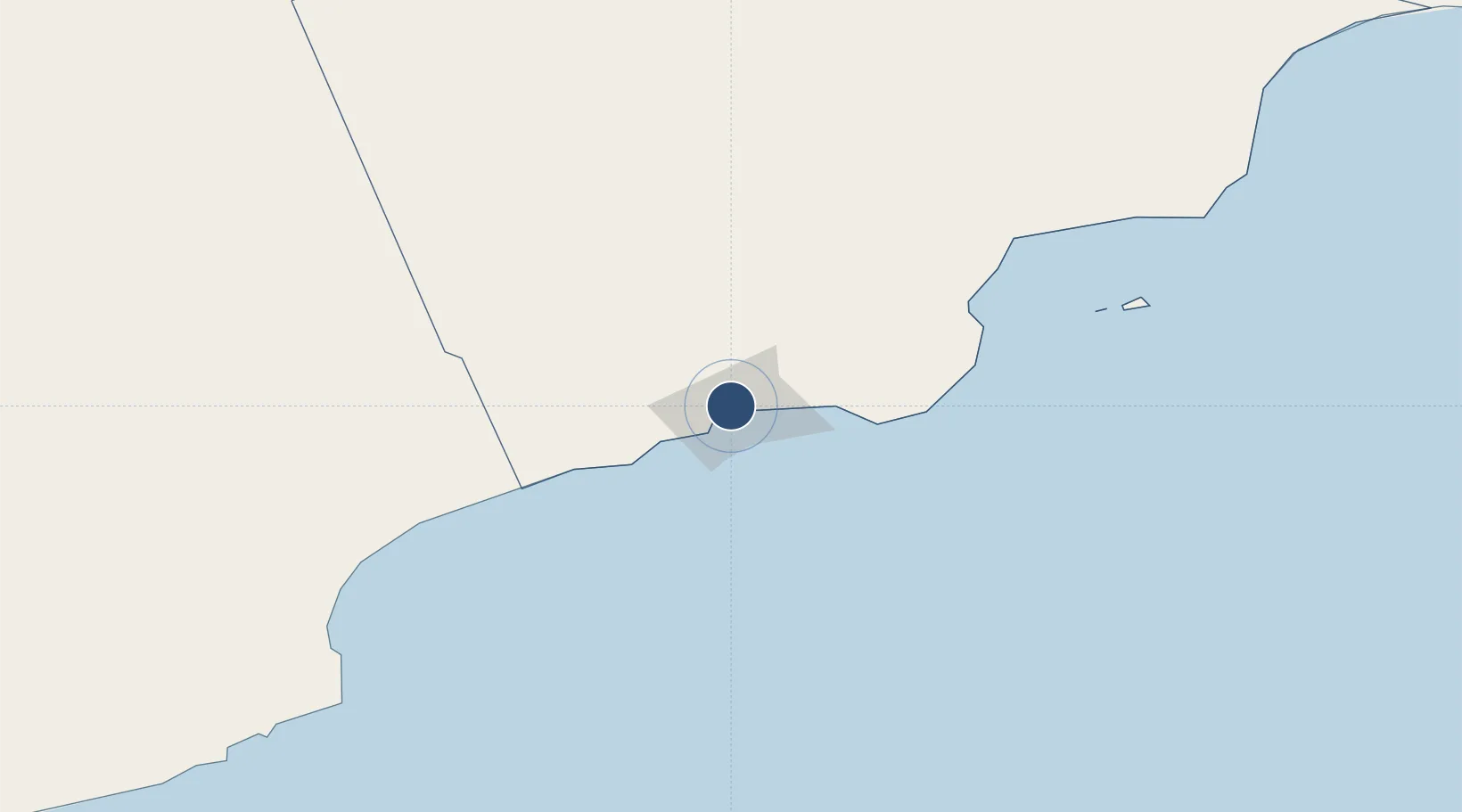
17.0387°, 54.0913°
13,123 ft
Longest runway
1
Runways
73 ft
Elevation
Runway & Layout

Radio Frequencies
TWR
118.2 MHz
APP
119.1 MHz
RDR
119.1 MHz
Navaids
SAN NDB Salalah 310 kHz
SLL VOR-DME Salalah 112.30 MHz
Runways · 1
| Runway | Dimensions | Surface | True heading | Lit |
|---|---|---|---|---|
| 07/25 | 13,123 × 197ft | Asphalt | 071° | ✓ |
Airport Specifications
IATA code
SLL
ICAO code
OOSA
Airport class
Large airport
Scheduled service
Yes
Runway surface
Asphalt
Served city
Salalah
Location
Nearby Logistics Neighbours
Airports
- 1Thumrait Air Base70 km
- 2Al Ghaydah International Airport225 km
- 3Duqm International Airport464 km
- 4Aradah Airport482 km
- 5Socotra Airport490 km
Cities
- 1Salalah15 km
- 2Al Mazunah178 km
- 3Chorula391 km
- 4Duqm483 km
- 5Suqutrá505 km
Ports
- 1Mina Raysut12 km
- 2Nishtun243 km
- 3Duqm482 km
- 4Ash Shihr Oil Terminal557 km
- 5Al Mukalla602 km
Trade Zones
- 1Salalah Ṣalālah Free Zone5 km
- 2Al Mazunah Free Zone177 km
- 3Duqm Special Economic Zone481 km
- 4Al Ain Industrial City799 km
- 5Industrial City of Abu Dhabi (ICAD)806 km
DatabookThe Record of Consolidated Knowledge
Oman beyond logistics?