Medium airport · Iran
Tabas AirportOIMT
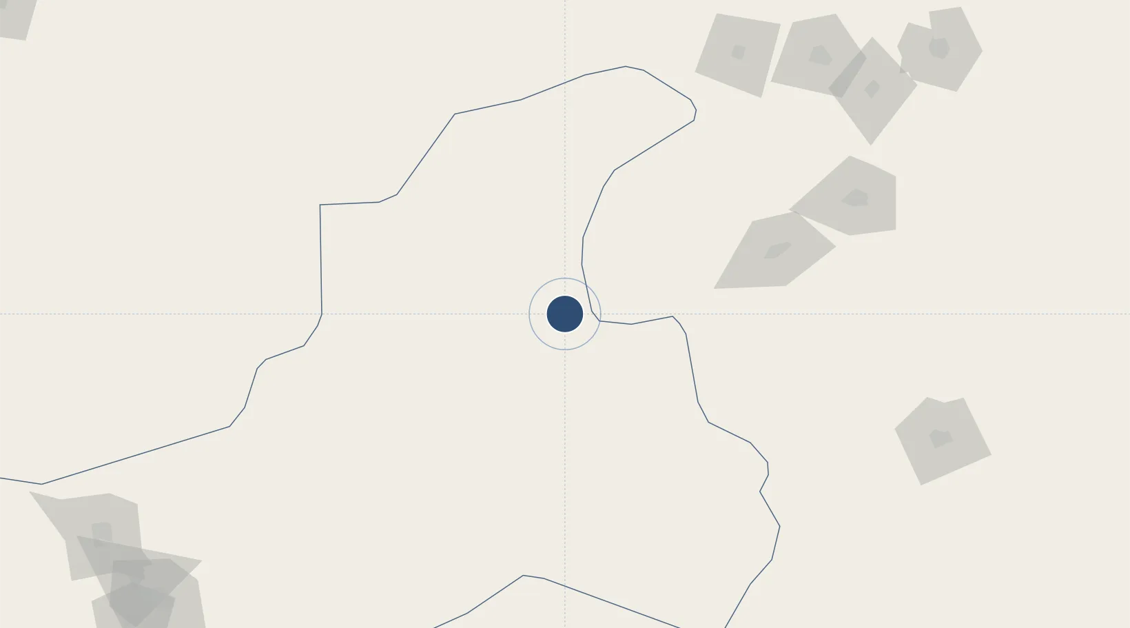
33.6678°, 56.8927°
9,977 ft
Longest runway
1
Runways
2,312 ft
Elevation
Runway & Layout

Radio Frequencies
GND
121.6 MHz
AFIS
122.55 MHz
INFO
Navaids
TBS NDB-DME Tabas 0.40 MHz
Runways · 1
| Runway | Dimensions | Surface | True heading | Lit |
|---|---|---|---|---|
| 15/33 | 9,977 × 148ft | Asphalt | 152° | — |
Airport Specifications
IATA code
TCX
ICAO code
OIMT
Airport class
Medium airport
Scheduled service
No
Runway surface
Asphalt
Served city
Tabas
Location
Nearby Logistics Neighbours
Airports
Cities
- 1Bandar-e Gaz438 km
- 2Bandar Neka469 km
- 3Bandar Amirabad473 km
- 4Kaka477 km
- 5Neka482 km
Ports
- 1Bandar Abbas728 km
- 2Jazireh-Ye Hormoz732 km
- 3Bandar-E Shahid Rejaie735 km
- 4Bushehr776 km
- 5Kharg Island Oil Terminal794 km
Trade Zones
DatabookThe Record of Consolidated Knowledge
Iran beyond logistics?