Medium airport · Saudi Arabia
Rafha Domestic AirportOERF
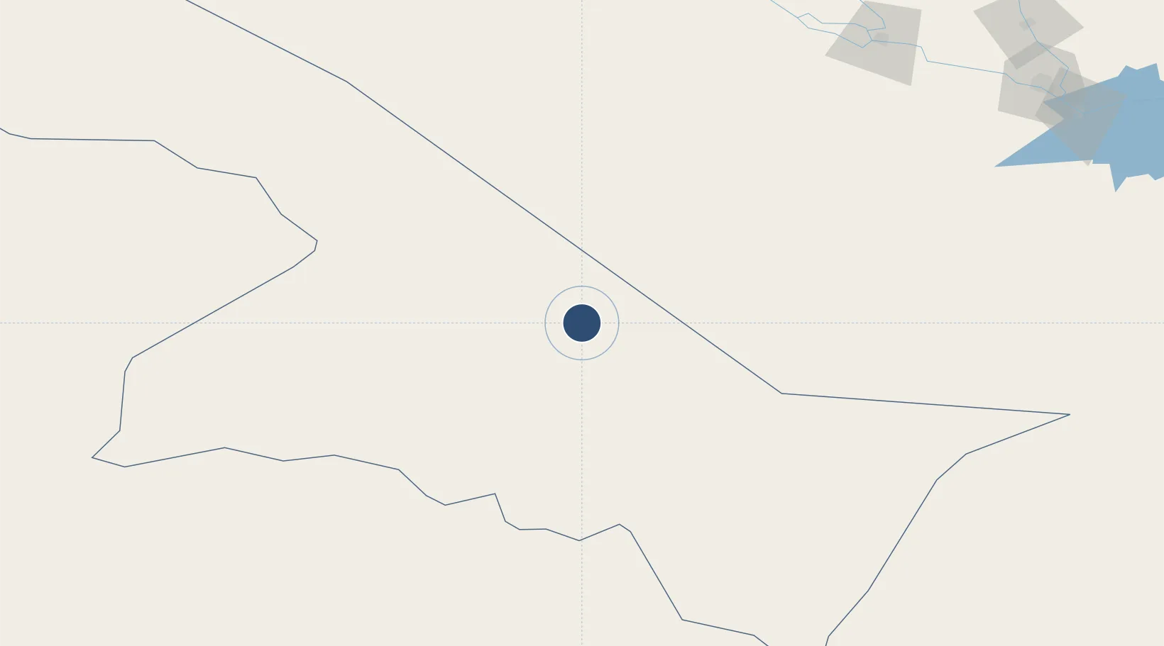
29.6264°, 43.4906°
9,834 ft
Longest runway
1
Runways
1,474 ft
Elevation
Runway & Layout

Radio Frequencies
CTAF
122.8 MHz
MISC
133.5 MHz
CRASH SVC
RDO
131.5 MHz
Navaids
RAF VOR-DME Rafha 116.80 MHz
Runways · 1
| Runway | Dimensions | Surface | True heading | Lit |
|---|---|---|---|---|
| 11/29 | 9,834 × 147ft | Asphalt | 114° | ✓ |
Airport Specifications
IATA code
RAH
ICAO code
OERF
Airport class
Medium airport
Scheduled service
Yes
Runway surface
Asphalt
Served city
Rafha
Location
Nearby Logistics Neighbours
Airports
- 1Arar Domestic Airport267 km
- 2King Khaled Military City Airport276 km
- 3Al Najaf International Airport277 km
- 4Ali Air Base289 km
- 5Al Qaisumah/Hafr Al Batin Airport294 km
Cities
- 1Dhi Qar255 km
- 2Rota-Izmit Bay263 km
- 3Najaf273 km
- 4Nasiriyah309 km
- 5Al Hillah330 km
Ports
- 1Doha Harbor418 km
- 2Al Basrah429 km
- 3Khawr Al Zubair430 km
- 4Al Kuwayt431 km
- 5Umm Qasr432 km
Trade Zones
- 1Arar Industrial City276 km
- 2Prince Abdulaziz Bin Mousaed Economic City283 km
- 3Hail Industrial City293 km
- 4Hafar Al-Batin Industrial City317 km
- 5Al-Jouf Modon Oasis339 km
DatabookThe Record of Consolidated Knowledge
Saudi Arabia beyond logistics?