Medium airport · Saudi Arabia
Arar Domestic AirportOERR
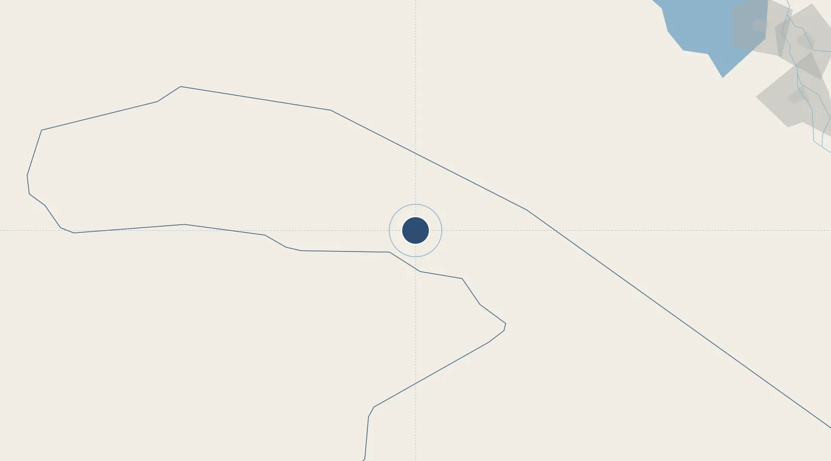
30.9066°, 41.1382°
10,007 ft
Longest runway
1
Runways
1,813 ft
Elevation
Runway & Layout

Radio Frequencies
CTAF
122.8 MHz
EMR
133.5 MHz
CRASH SVC
Navaids
AAR VORTAC Arar 113.30 MHz
Runways · 1
| Runway | Dimensions | Surface | True heading | Lit |
|---|---|---|---|---|
| 10/28 | 10,007 × 148ft | Asphalt | 105° | ✓ |
Airport Specifications
IATA code
RAE
ICAO code
OERR
Airport class
Medium airport
Scheduled service
Yes
Runway surface
Asphalt
Served city
Arar
Location
Nearby Logistics Neighbours
Airports
- 1Al-Jawf International Airport160 km
- 2Turaif Domestic Airport245 km
- 3H3 Southwest Air Base251 km
- 4Ruwayshid Air Base253 km
- 5H3 Air Base261 km
Cities
- 1Rota-Izmit Bay137 km
- 2Najaf323 km
- 3Al Asad342 km
- 4Khan al Baghdadi351 km
- 5Al Taqaddum355 km
Trade Zones
- 1Arar Industrial City13 km
- 2Al-Jouf Modon Oasis168 km
- 3Waad Al-Shamal Industial City222 km
- 4Prince Abdulaziz Bin Mousaed Economic City369 km
- 5Hail Industrial City385 km
DatabookThe Record of Consolidated Knowledge
Saudi Arabia beyond logistics?