Free Trade Zone · Saudi Arabia

Al-Jouf Modon Oasis Active
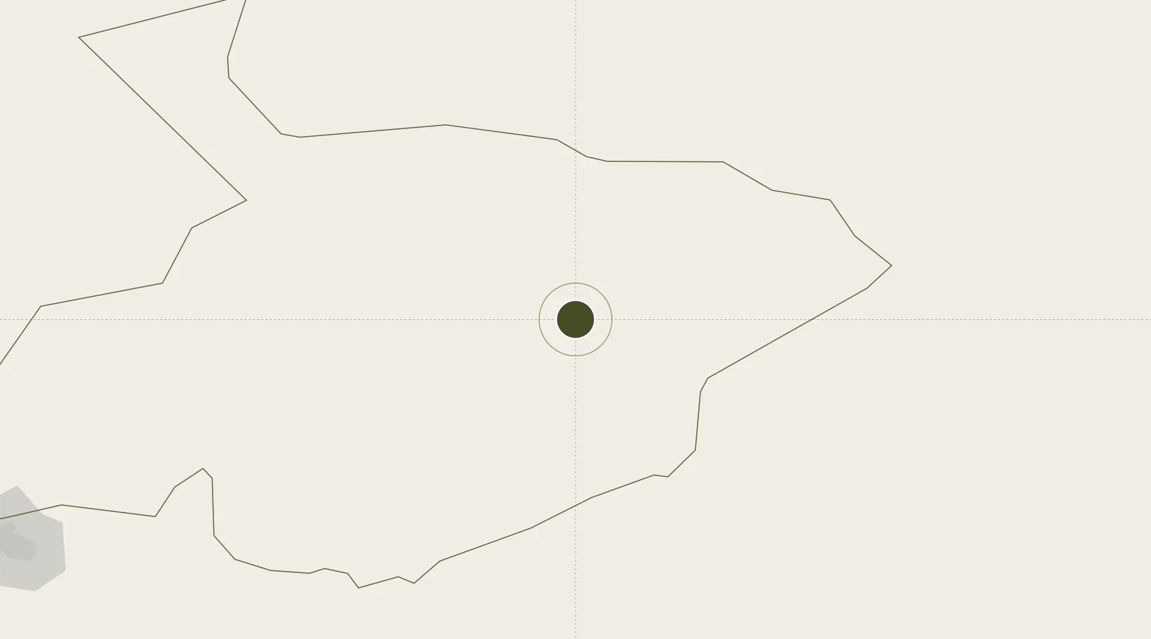
29.7736°, 39.9823°
300 ha
Zone area
482.3 km
Nearest port
11.5 km
Nearest airport

Gateway access

Nearest neighbours — logibook spatial index (haversine) over the source coordinates

Zone profile

Zone type
Free Trade Zone
Open Zone Map
Region
Al Jawf
Open Zone Map
Status
Active
Open Zone Map
Management
Public
Open Zone Map
Operator
Saudi Authority for Industrial Estates and Technology Zones
Open Zone Map
Legal framework
Ministerial Legislation No. 235 dated 27/8/1422H
Open Zone Map

Location

Location of ozm-4068
Natural Earth 10m (public domain) · Al Jawf · ozm-4068 · 29.77, 39.98GoogleOSMYandex

Nearby Logistics Neighbours

Ports
  1. 1Al Aqabah482 km
  2. 2Elat487 km
  3. 3Duba499 km
  4. 4Nuwaybi'524 km
  5. 5Ashdod558 km
Nearest neighbours — logibook spatial index (haversine) over the source coordinates
Airports
  1. 1Al-Jawf International Airport12 km
  2. 2Arar Domestic Airport168 km
  3. 3Turaif Domestic Airport245 km
  4. 4Ruwayshid Air Base304 km
  5. 5Ha'il Airport308 km
Nearest neighbours — logibook spatial index (haversine) over the source coordinates
Cities
  1. 1Rota-Izmit Bay76 km
  2. 2Qir Moav439 km
  3. 3Abu Alandah450 km
  4. 4Zarka Free Zone451 km
  5. 5Yeruham473 km
Nearest neighbours — logibook spatial index (haversine) over the source coordinates
Trade Zones
  1. 1Arar Industrial City176 km
  2. 2Waad Al-Shamal Industial City243 km
  3. 3Prince Abdulaziz Bin Mousaed Economic City293 km
  4. 4Hail Industrial City307 km
  5. 5Tabuk Tabō«k Industrial City355 km
Nearest neighbours — logibook spatial index (haversine) over the source coordinates
DatabookThe Record of Consolidated Knowledge
Saudi Arabia beyond logistics?
Browse databook

All Sources

Trade ZonesOpen Zone Map
CC BY
Portsthe NGA World Port Index
Public domain (US gov)
AirportsOurAirports
Public domain
LocationsUN/LOCODE
UN/LOCODE — free
← Saudi Arabia trade zones