Transport Functions
Port
Hub Profile
Region
35
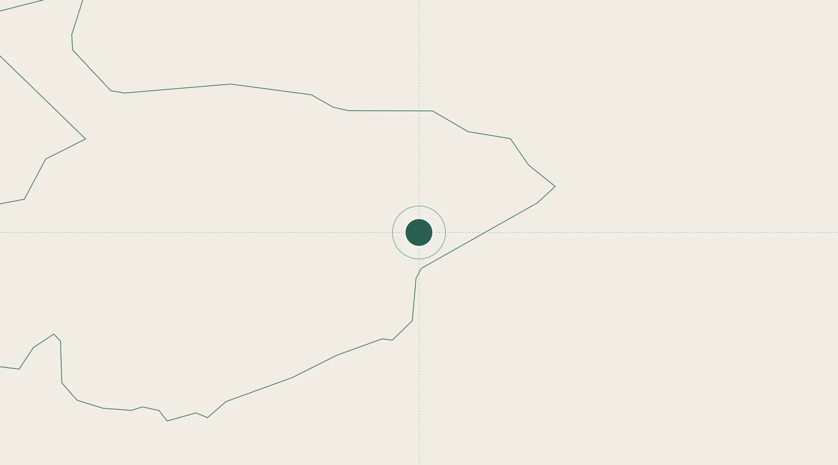
Location
Nearby Logistics Neighbours
Cities
- 1Najaf421 km
- 2Dhi Qar457 km
- 3Al Hillah465 km
- 4Al Asad479 km
- 5Al Taqaddum483 km
Airports
- 1Al-Jawf International Airport65 km
- 2Arar Domestic Airport137 km
- 3Rafha Domestic Airport263 km
- 4Ha'il Airport269 km
- 5Turaif Domestic Airport293 km
Trade Zones
- 1Al-Jouf Modon Oasis76 km
- 2Arar Industrial City149 km
- 3Prince Abdulaziz Bin Mousaed Economic City251 km
- 4Hail Industrial City266 km
- 5Waad Al-Shamal Industial City285 km
DatabookThe Record of Consolidated Knowledge
Türkiye beyond logistics?