Free Trade Zone · Saudi Arabia

Qassim Industrial City (Second) Active
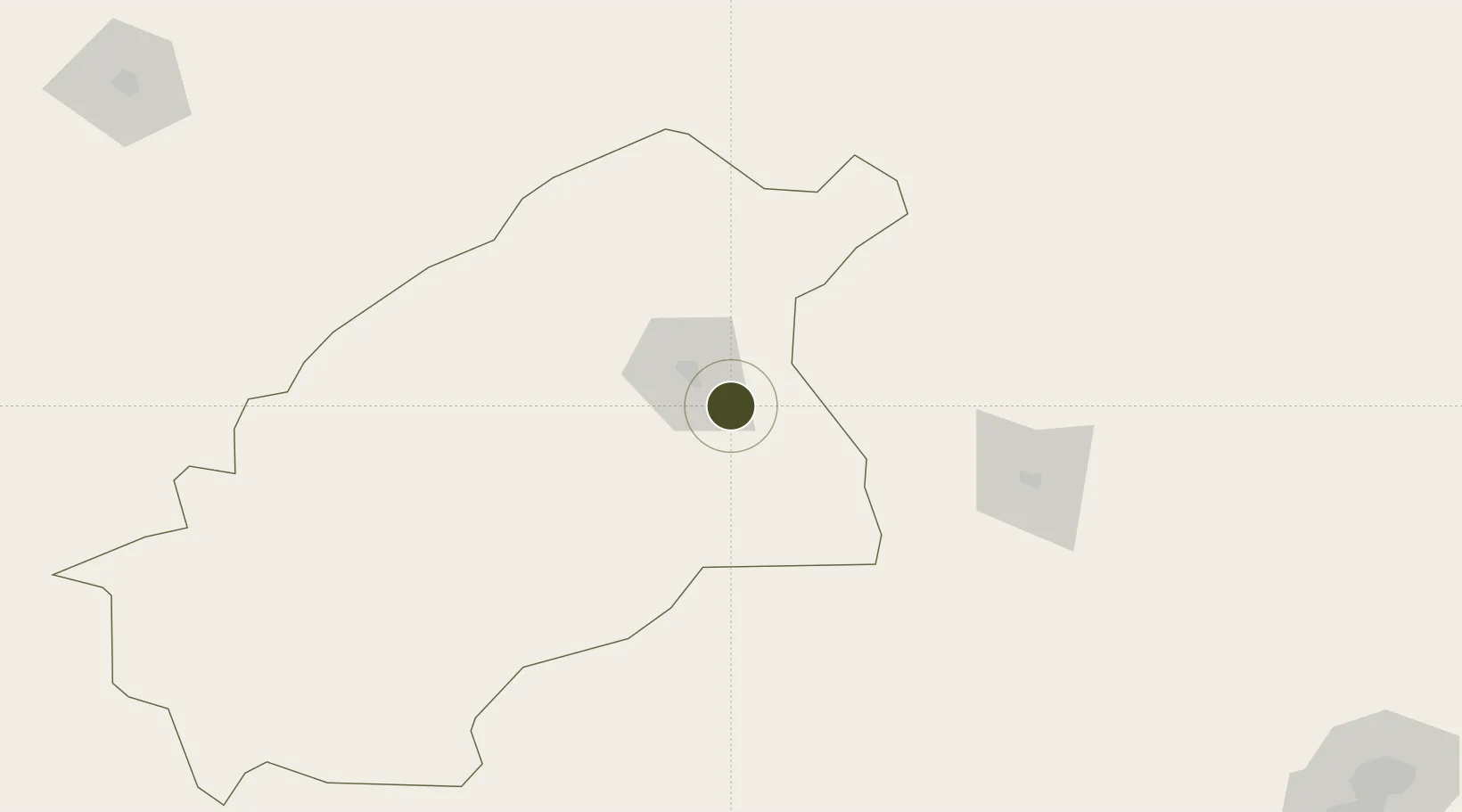
26.2145°, 44.1319°
11,800 ha
Zone area
492.9 km
Nearest port
37.0 km
Nearest airport

Gateway access

Nearest neighbours — logibook spatial index (haversine) over the source coordinates

Zone profile

Zone type
Free Trade Zone
Open Zone Map
Region
Al Quassim
Open Zone Map
Status
Active
Open Zone Map
Management
Public
Open Zone Map
Operator
Saudi Authority for Industrial Estates and Technology Zones
Open Zone Map
Legal framework
Ministerial Legislation No. 235 dated 27/8/1422H
Open Zone Map

Location

Location of ozm-4096
Natural Earth 10m (public domain) · Al Quassim · ozm-4096 · 26.21, 44.13GoogleOSMYandex

Nearby Logistics Neighbours

Ports
  1. 1Ras Al Mishab493 km
  2. 2Ras Al Khafji504 km
  3. 3Doha Harbor504 km
  4. 4Mina Abd Allah505 km
  5. 5Mina Az Zawr506 km
Nearest neighbours — logibook spatial index (haversine) over the source coordinates
Airports
  1. 1Prince Naif bin Abdulaziz International Airport37 km
  2. 2Dawadmi Domestic Airport196 km
  3. 3King Khaled Military City Airport233 km
  4. 4Ha'il Airport278 km
  5. 5King Khalid International Airport293 km
Nearest neighbours — logibook spatial index (haversine) over the source coordinates
Cities
  1. 1Buraydah20 km
  2. 2Riyadh Dry Port318 km
  3. 3Ahmadi502 km
  4. 4Doha504 km
  5. 5Mina Al Zour505 km
Nearest neighbours — logibook spatial index (haversine) over the source coordinates
Trade Zones
  1. 1Qassim Industrial City (First)10 km
  2. 2Qassim Modon Oasis13 km
  3. 3Al-Zulfi Industrial City84 km
  4. 4Shaqraa Industrial City157 km
  5. 5Sudair Industrial City177 km
Nearest neighbours — logibook spatial index (haversine) over the source coordinates
DatabookThe Record of Consolidated Knowledge
Saudi Arabia beyond logistics?
Browse databook

All Sources

Trade ZonesOpen Zone Map
CC BY
Portsthe NGA World Port Index
Public domain (US gov)
AirportsOurAirports
Public domain
LocationsUN/LOCODE
UN/LOCODE — free
← Saudi Arabia trade zones