Large airport · Saudi Arabia
Prince Naif bin Abdulaziz International AirportOEGS
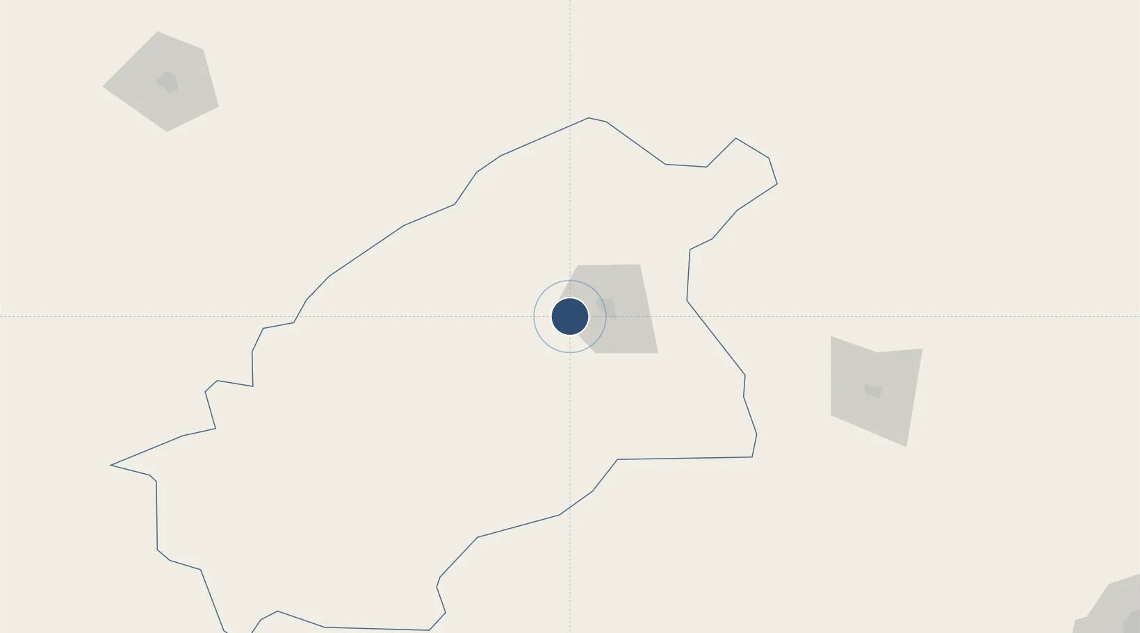
26.3028°, 43.7744°
9,843 ft
Longest runway
1
Runways
2,126 ft
Elevation
Runway & Layout

Radio Frequencies
TWR
118 MHz
GND
121.9 MHz
A/G
131.5 MHz
SAUDIA RDO
Navaids
GAS VORTAC Gassim 117.10 MHz
Runways · 1
| Runway | Dimensions | Surface | True heading | Lit |
|---|---|---|---|---|
| 15/33 | 9,843 × 147ft | Asphalt | 153° | ✓ |
Airport Specifications
IATA code
ELQ
ICAO code
OEGS
Airport class
Large airport
Scheduled service
Yes
Runway surface
Asphalt
Served city
Qassim
Location
Nearby Logistics Neighbours
Airports
- 1Dawadmi Domestic Airport209 km
- 2Ha'il Airport243 km
- 3King Khaled Military City Airport248 km
- 4Al Qaisumah/Hafr Al Batin Airport324 km
- 5King Khalid International Airport329 km
Cities
- 1Buraydah19 km
- 2Riyadh Dry Port353 km
- 3Rota-Izmit Bay481 km
- 4Doha523 km
- 5Shuwaikh530 km
Ports
- 1Ras Al Mishab521 km
- 2Doha Harbor523 km
- 3Mina Abd Allah527 km
- 4Mina Ash Shuaybah528 km
- 5Mina Az Zawr530 km
Trade Zones
- 1Qassim Modon Oasis25 km
- 2Qassim Industrial City (First)27 km
- 3Qassim Industrial City (Second)37 km
- 4Al-Zulfi Industrial City119 km
- 5Shaqraa Industrial City190 km
DatabookThe Record of Consolidated Knowledge
Saudi Arabia beyond logistics?