UN/LOCODE hub · Saudi Arabia
SABUR
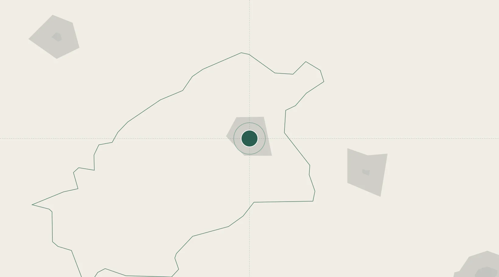
Buraydah
26.3167°, 43.9667°
745,353
Population
2
Transport functions
Transport Functions
Port
Multimodal
Hub Profile
Place type
Regional capital
Region
Al-Qassim Region
Population
745,353
Time zone
Asia/Riyadh
Elevation
606 m
Location
Nearby Logistics Neighbours
Cities
- 1Riyadh Dry Port338 km
- 2Rota-Izmit Bay492 km
- 3Doha508 km
- 4Shuwaikh514 km
- 5Kaifan517 km
Ports
- 1Ras Al Mishab503 km
- 2Doha Harbor508 km
- 3Mina Abd Allah511 km
- 4Mina Ash Shuaybah512 km
- 5Ras Al Khafji513 km
Airports
Trade Zones
DatabookThe Record of Consolidated Knowledge
Saudi Arabia beyond logistics?