Free Trade Zone · Saudi Arabia

Qassim Industrial City (First) Active
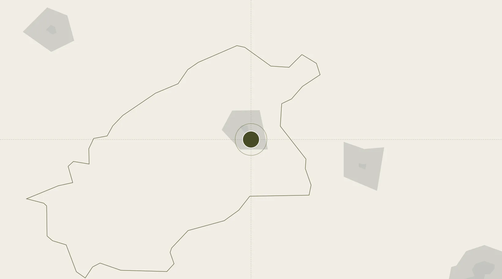
26.2296°, 44.0336°
150 ha
Zone area
501.0 km
Nearest port
27.1 km
Nearest airport

Gateway access

Nearest neighbours — logibook spatial index (haversine) over the source coordinates

Zone profile

Zone type
Free Trade Zone
Open Zone Map
Region
Al Quassim
Open Zone Map
Status
Active
Open Zone Map
Management
Public
Open Zone Map
Operator
Saudi Authority for Industrial Estates and Technology Zones
Open Zone Map
Legal framework
Ministerial Legislation No. 235 dated 27/8/1422H
Open Zone Map

Location

Location of ozm-4062
Natural Earth 10m (public domain) · Al Quassim · ozm-4062 · 26.23, 44.03GoogleOSMYandex

Nearby Logistics Neighbours

Ports
  1. 1Ras Al Mishab501 km
  2. 2Doha Harbor510 km
  3. 3Mina Abd Allah512 km
  4. 4Ras Al Khafji512 km
  5. 5Mina Ash Shuaybah513 km
Nearest neighbours — logibook spatial index (haversine) over the source coordinates
Airports
  1. 1Prince Naif bin Abdulaziz International Airport27 km
  2. 2Dawadmi Domestic Airport198 km
  3. 3King Khaled Military City Airport238 km
  4. 4Ha'il Airport269 km
  5. 5King Khalid International Airport302 km
Nearest neighbours — logibook spatial index (haversine) over the source coordinates
Cities
  1. 1Buraydah12 km
  2. 2Riyadh Dry Port327 km
  3. 3Rota-Izmit Bay503 km
  4. 4Ahmadi509 km
  5. 5Doha510 km
Nearest neighbours — logibook spatial index (haversine) over the source coordinates
Trade Zones
  1. 1Qassim Modon Oasis3 km
  2. 2Qassim Industrial City (Second)10 km
  3. 3Al-Zulfi Industrial City93 km
  4. 4Shaqraa Industrial City165 km
  5. 5Sudair Industrial City187 km
Nearest neighbours — logibook spatial index (haversine) over the source coordinates
DatabookThe Record of Consolidated Knowledge
Saudi Arabia beyond logistics?
Browse databook

All Sources

Trade ZonesOpen Zone Map
CC BY
Portsthe NGA World Port Index
Public domain (US gov)
AirportsOurAirports
Public domain
LocationsUN/LOCODE
UN/LOCODE — free
← Saudi Arabia trade zones