Medium airport · Bahamas

Normans Cay AirportMYEN
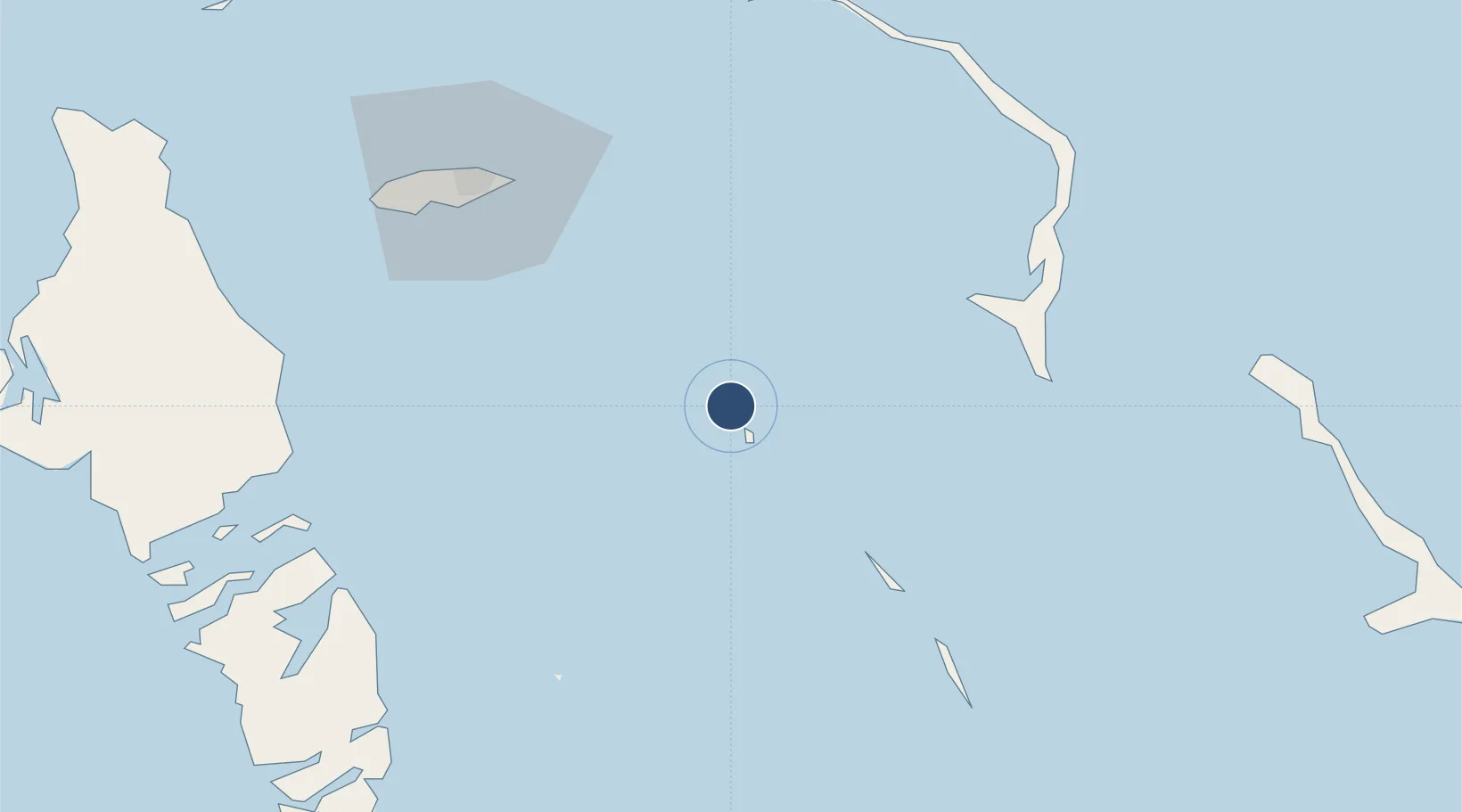
24.5943°, -76.8202°
4,703 ft
Longest runway
1
Runways
8 ft
Elevation

Runway & Layout

Normans Cay Airport runway & taxiway layout
Runway & taxiway layout — OpenStreetMap (ODbL) / OurAirports

Radio Frequencies

UNIC
122.8 MHz
UNICOM
OurAirports

Runways · 1

RunwayDimensions SurfaceTrue headingLit
03/21 4,703 × 80ft Asphalt 025°
OurAirports

Airport Specifications

IATA code
NMC
OurAirports
ICAO code
MYEN
OurAirports
Airport class
Medium airport
OurAirports
Scheduled service
No
OurAirports
Runway surface
Asphalt
OurAirports
Served city
Normans Cay
OurAirports

Location

Location of MYEN
Natural Earth 10m (public domain) · MYEN · 24.59, -76.82GoogleOSMYandex

Nearby Logistics Neighbours

Airports
  1. 1Staniel Cay Airport61 km
  2. 2Rock Sound International Airport73 km
  3. 3Lynden Pindling International Airport82 km
  4. 4Governor's Harbour Airport91 km
  5. 5Congo Town Airport92 km
Nearest neighbours — logibook spatial index (haversine) over the source coordinates
Cities
  1. 1Cape Eleuthera54 km
  2. 2Rock Sound71 km
  3. 3Clifton Point85 km
  4. 4Congo Town88 km
  5. 5Little San Salvador91 km
Nearest neighbours — logibook spatial index (haversine) over the source coordinates
Ports
  1. 1Nassau76 km
  2. 2Clifton Pier86 km
  3. 3Cockburn240 km
  4. 4South Riding Point265 km
  5. 5Freeport291 km
Nearest neighbours — logibook spatial index (haversine) over the source coordinates
Trade Zones
  1. 1Freeport Bahamas284 km
  2. 2Grand Bahama International Airport288 km
  3. 3FTZ No. 180 Miami (Wynwood)366 km
  4. 4FTZ No. 025 Broward County371 km
  5. 5FTZ No. 032 Miami376 km
Nearest neighbours — logibook spatial index (haversine) over the source coordinates
DatabookThe Record of Consolidated Knowledge
Bahamas beyond logistics?
Browse databook

All Sources

AirportsOurAirports
Public domain
Portsthe NGA World Port Index
Public domain (US gov)
LocationsUN/LOCODE
UN/LOCODE — free
Trade Zonesthe World Bank SEZ database
CC BY 4.0
Trade ZonesOpen Zone Map
CC BY
InfrastructureOpenStreetMap
ODbL 1.0
← Bahamas airports