Medium airport · Bahamas
Congo Town AirportMYAK
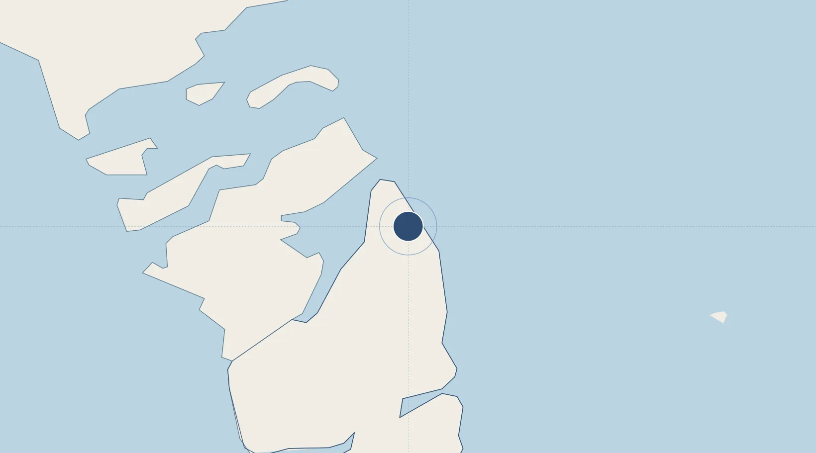
24.1587°, -77.5898°
5,300 ft
Longest runway
1
Runways
15 ft
Elevation
Runway & Layout

Radio Frequencies
UNIC
122.8 MHz
UNICOM
Runways · 1
| Runway | Dimensions | Surface | True heading | Lit |
|---|---|---|---|---|
| 10/28 | 5,300 × 100ft | Asphalt | 101° | — |
Airport Specifications
IATA code
TZN
ICAO code
MYAK
Airport class
Medium airport
Scheduled service
Yes
Runway surface
Asphalt
Served city
Andros
Location
Nearby Logistics Neighbours
Airports
- 1Clarence A. Bain Airport17 km
- 2Andros Town Airport64 km
- 3Normans Cay Airport92 km
- 4Lynden Pindling International Airport99 km
- 5San Andros Airport110 km
Cities
- 1Congo Town6 km
- 2Clifton Point94 km
- 3San Andros111 km
- 4Cape Eleuthera145 km
- 5Bock Cay150 km
Ports
- 1Clifton Pier94 km
- 2Nassau106 km
- 3Caibarien263 km
- 4Isabela De Sagua280 km
- 5South Riding Point281 km
Trade Zones
- 1Freeport Bahamas285 km
- 2Grand Bahama International Airport288 km
- 3FTZ No. 180 Miami (Wynwood)321 km
- 4FTZ No. 032 Miami329 km
- 5FTZ No. 025 Broward County333 km
DatabookThe Record of Consolidated Knowledge
Bahamas beyond logistics?