Medium airport · Cuba

Jardines Del Rey AirportMUCC
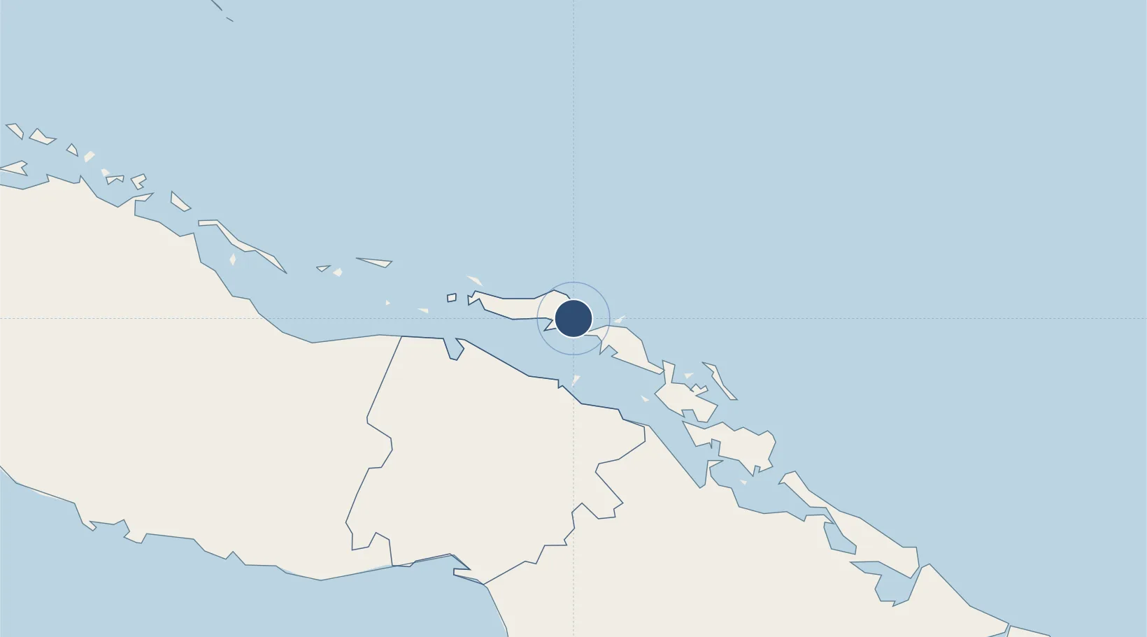
22.4610°, -78.3284°
9,842 ft
Longest runway
1
Runways
13 ft
Elevation

Runway & Layout

Jardines Del Rey Airport runway & taxiway layout
Runway & taxiway layout — OpenStreetMap (ODbL) / OurAirports

Radio Frequencies

TWR
118.8 MHz
APP/TWR
A/G
340.7 MHz
RDO
OurAirports

Navaids

UCC NDB Jardines Del Rey 382 kHz
UCJ VOR-DME Jardines Del Rey 117.80 MHz
OurAirports

Runways · 1

RunwayDimensions SurfaceTrue headingLit
08/26 9,842 × 148ft Asphalt 071°
OurAirports

Airport Specifications

IATA code
CCC
OurAirports
ICAO code
MUCC
OurAirports
Airport class
Medium airport
OurAirports
Scheduled service
Yes
OurAirports
Runway surface
Asphalt
OurAirports
Served city
Cayo Coco
OurAirports

Location

Location of MUCC
Natural Earth 10m (public domain) · Ciego de Ávila · MUCC · 22.46, -78.33GoogleOSMYandex

Nearby Logistics Neighbours

Airports
  1. 1Máximo Gómez Airport68 km
  2. 2Ignacio Agramonte International Airport126 km
  3. 3Abel Santamaria International Airport166 km
  4. 4Alberto Delgado Airport188 km
  5. 5Congo Town Airport203 km
Nearest neighbours — logibook spatial index (haversine) over the source coordinates
Cities
  1. 1Morón50 km
  2. 2Boqueron78 km
  3. 3Boca Grande104 km
  4. 4Júcaro107 km
  5. 5Palo Alto116 km
Nearest neighbours — logibook spatial index (haversine) over the source coordinates
Ports
  1. 1Jucaro108 km
  2. 2Caibarien117 km
  3. 3Palo Alto118 km
  4. 4Nuevitas Bay149 km
  5. 5Tunas De Zaza156 km
Nearest neighbours — logibook spatial index (haversine) over the source coordinates
Trade Zones
  1. 1FTZ No. 180 Miami (Wynwood)418 km
  2. 2FTZ No. 032 Miami422 km
  3. 3FTZ No. 281 Miami-Dade County423 km
  4. 4FTZ No. 025 Broward County442 km
  5. 5Cazoumar Free Zone447 km
Nearest neighbours — logibook spatial index (haversine) over the source coordinates
DatabookThe Record of Consolidated Knowledge
Cuba beyond logistics?
Browse databook

All Sources

AirportsOurAirports
Public domain
Portsthe NGA World Port Index
Public domain (US gov)
LocationsUN/LOCODE
UN/LOCODE — free
Trade Zonesthe World Bank SEZ database
CC BY 4.0
Trade ZonesOpen Zone Map
CC BY
InfrastructureOpenStreetMap
ODbL 1.0
← Cuba airports