Transport Functions
Port
Rail
Road
Hub Profile
Place type
Populated place
Region
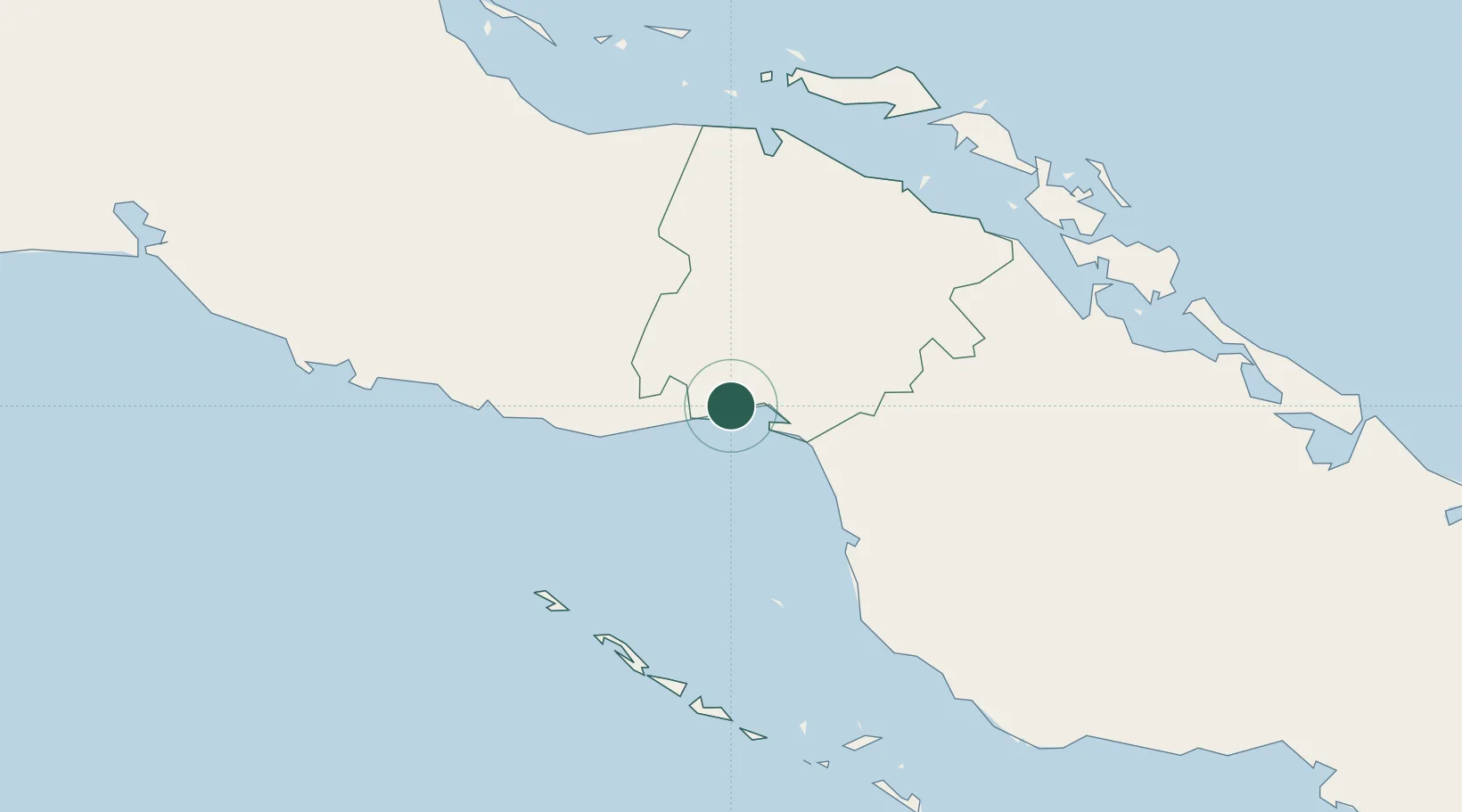
Ciego de Ávila Province
Time zone
America/Havana
Elevation
3 m
Location
Nearby Logistics Neighbours
Cities
- 1Palo Alto13 km
- 2Boca Grande20 km
- 3Morón57 km
- 4Boqueron62 km
- 5Tunas de Zaza72 km
Ports
- 1Palo Alto13 km
- 2Tunas De Zaza72 km
- 3Casilda118 km
- 4Caibarien119 km
- 5Santa Cruz del Sur137 km
Airports
Trade Zones
- 1Cazoumar Free Zone365 km
- 2Montego Bay Free Zone366 km
- 3Cayman Enterprise City370 km
- 4Jamaica-Gansu Industrial Park428 km
- 5Mariel Special Development Zone433 km
DatabookThe Record of Consolidated Knowledge
Cuba beyond logistics?