Transport Functions
Rail
Road
Hub Profile
Place type
Provincial seat
Region
Ciego de Ávila Province
Population
66,060
Time zone
America/Havana
Elevation
14 m
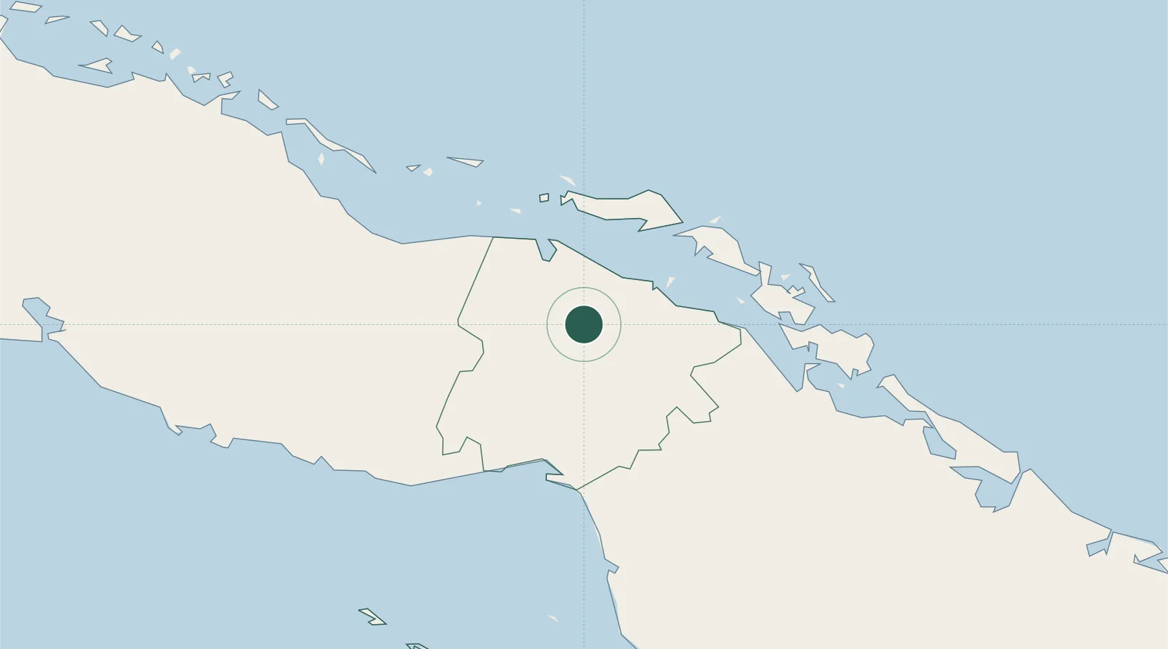
Location
Nearby Logistics Neighbours
Cities
- 1Boqueron42 km
- 2Júcaro57 km
- 3Boca Grande58 km
- 4Palo Alto66 km
- 5Caibarién99 km
Ports
- 1Jucaro59 km
- 2Palo Alto68 km
- 3Caibarien100 km
- 4Tunas De Zaza109 km
- 5Casilda146 km
Airports
Trade Zones
- 1Cazoumar Free Zone411 km
- 2Montego Bay Free Zone411 km
- 3Cayman Enterprise City423 km
- 4Mariel Special Development Zone440 km
- 5FTZ No. 281 Miami-Dade County441 km
DatabookThe Record of Consolidated Knowledge
Cuba beyond logistics?