Medium airport · Cuba

Alberto Delgado AirportMUTD
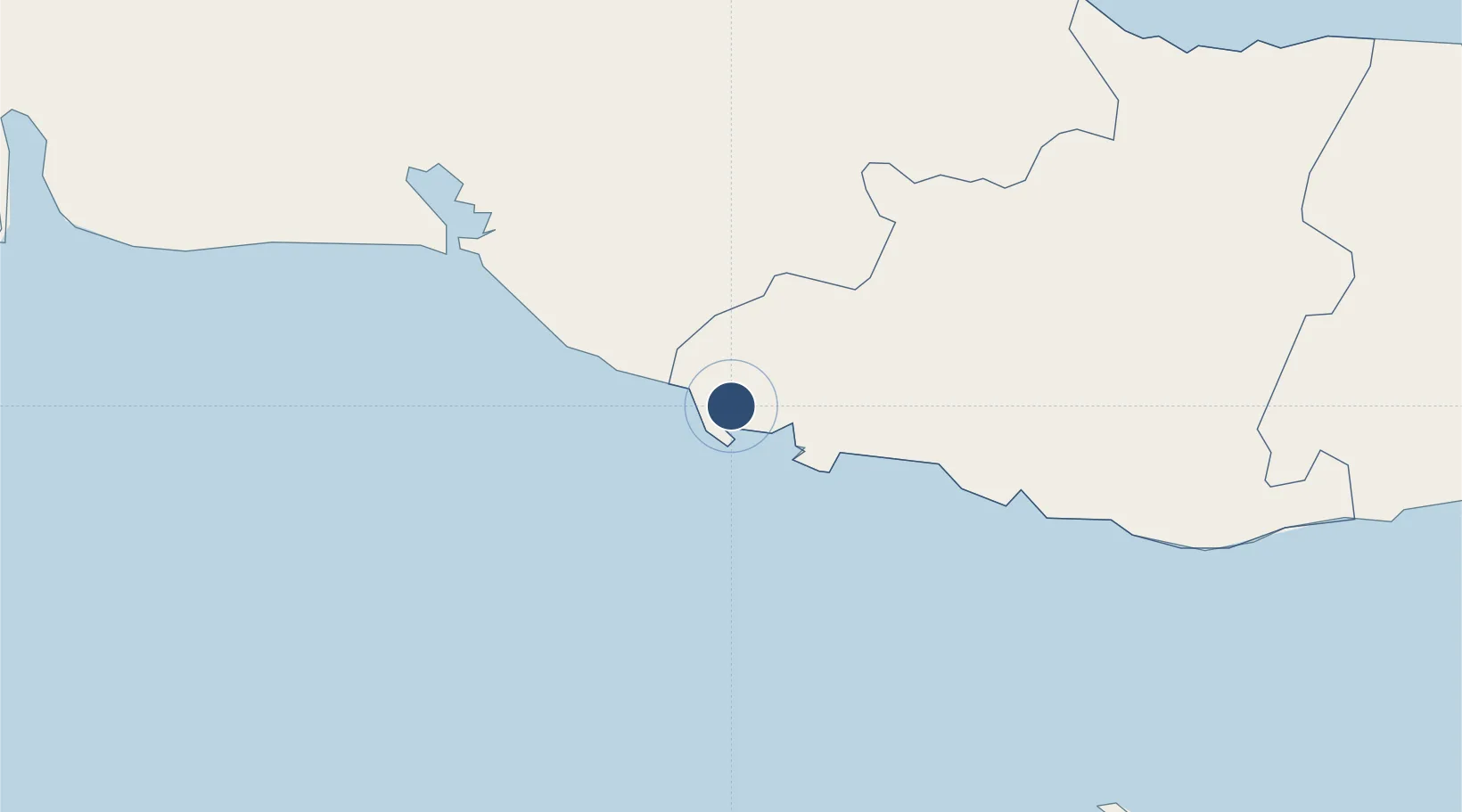
21.7883°, -79.9972°
5,909 ft
Longest runway
1
Runways
125 ft
Elevation

Runway & Layout

Alberto Delgado Airport runway & taxiway layout
Runway & taxiway layout — OpenStreetMap (ODbL) / OurAirports

Radio Frequencies

TWR
122.5 MHz
TRINIDAD TWR
A/G
340.7 MHz
TRINIDAD RDO
OurAirports

Navaids

UTD NDB Trinidad 300 kHz
OurAirports

Runways · 1

RunwayDimensions SurfaceTrue headingLit
06/24 5,909 × 98ft Asphalt 052°
OurAirports

Airport Specifications

IATA code
TND
OurAirports
ICAO code
MUTD
OurAirports
Airport class
Medium airport
OurAirports
Scheduled service
Yes
OurAirports
Runway surface
Asphalt
OurAirports
Served city
Trinidad
OurAirports

Location

Location of MUTD
Natural Earth 10m (public domain) · Sancti Spíritus · MUTD · 21.79, -80.00GoogleOSMYandex

Nearby Logistics Neighbours

Airports
  1. 1Jaime Gonzalez Airport59 km
  2. 2Abel Santamaria International Airport79 km
  3. 3Máximo Gómez Airport127 km
  4. 4Vilo Acuña International Airport161 km
  5. 5Jardines Del Rey Airport188 km
Nearest neighbours — logibook spatial index (haversine) over the source coordinates
Cities
  1. 1Casilda2 km
  2. 2Tunas de Zaza49 km
  3. 3Caibarién98 km
  4. 4Palo Alto109 km
  5. 5Boqueron110 km
Nearest neighbours — logibook spatial index (haversine) over the source coordinates
Ports
  1. 1Casilda5 km
  2. 2Tunas De Zaza49 km
  3. 3Cienfuegos62 km
  4. 4Caibarien99 km
  5. 5Palo Alto109 km
Nearest neighbours — logibook spatial index (haversine) over the source coordinates
Trade Zones
  1. 1Cayman Enterprise City311 km
  2. 2Mariel Special Development Zone317 km
  3. 3FTZ No. 281 Miami-Dade County426 km
  4. 4Cazoumar Free Zone428 km
  5. 5Montego Bay Free Zone428 km
Nearest neighbours — logibook spatial index (haversine) over the source coordinates
DatabookThe Record of Consolidated Knowledge
Cuba beyond logistics?
Browse databook

All Sources

AirportsOurAirports
Public domain
Portsthe NGA World Port Index
Public domain (US gov)
LocationsUN/LOCODE
UN/LOCODE — free
Trade Zonesthe World Bank SEZ database
CC BY 4.0
Trade ZonesOpen Zone Map
CC BY
InfrastructureOpenStreetMap
ODbL 1.0
← Cuba airports