Channel & Berth Profile
Pilotage, Tugs & Services
Pilotage compulsoryYES
Pilotage availableYES
Potable waterNO
Diesel bunkersNO
Facilities & Capabilities
Container—
Ro-Ro—
Liquid bulk—
Dry bulk—
Oil terminal—
Break bulk—
Dry dock—
Repairs—
BunkeringNO
Rail linkYES
Dangerous cargo—
ISPS security—
Harbour Specifications
Harbour size
Very Small
Harbour type
Open Roadstead
Shelter
Poor
Water body
Caribbean Sea; North Atlantic Ocean
Tidal range
1 m
Overhead limit
No
Pilotage
Yes
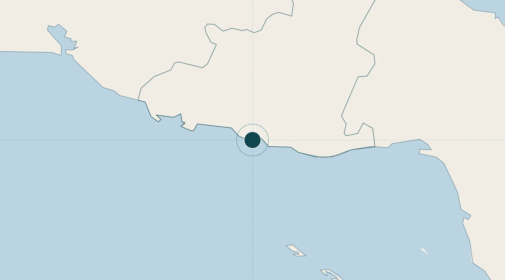
Location
Nearby Logistics Neighbours
Ports
- 1Casilda47 km
- 2Palo Alto61 km
- 3Jucaro72 km
- 4Caibarien100 km
- 5Cienfuegos109 km
Cities
- 1Casilda49 km
- 2Palo Alto60 km
- 3Júcaro72 km
- 4Boqueron81 km
- 5Boca Grande92 km
Airports
- 1Alberto Delgado Airport49 km
- 2Máximo Gómez Airport90 km
- 3Abel Santamaria International Airport104 km
- 4Jaime Gonzalez Airport106 km
- 5Jardines Del Rey Airport156 km
Trade Zones
- 1Cayman Enterprise City322 km
- 2Mariel Special Development Zone366 km
- 3Cazoumar Free Zone391 km
- 4Montego Bay Free Zone391 km
- 5FTZ No. 281 Miami-Dade County453 km
DatabookThe Record of Consolidated Knowledge
Cuba beyond logistics?