Channel & Berth Profile
Pilotage, Tugs & Services
Pilotage compulsoryYES
Pilotage availableYES
Tug assistanceYES
Potable waterYES
Diesel bunkersNO
MedicalYES
Facilities & Capabilities
Container—
Ro-Ro—
Liquid bulkYES
Dry bulkYES
Oil terminal—
Break bulkYES
Dry dock—
RepairsNO
BunkeringYES
Rail linkYES
Dangerous cargo—
ISPS securityYES
Harbour Specifications
Harbour size
Large
Harbour type
Coastal (Natural)
Shelter
Fair
Water body
North Atlantic Ocean
Tidal range
0.6 m
Overhead limit
No
Pilotage
Yes
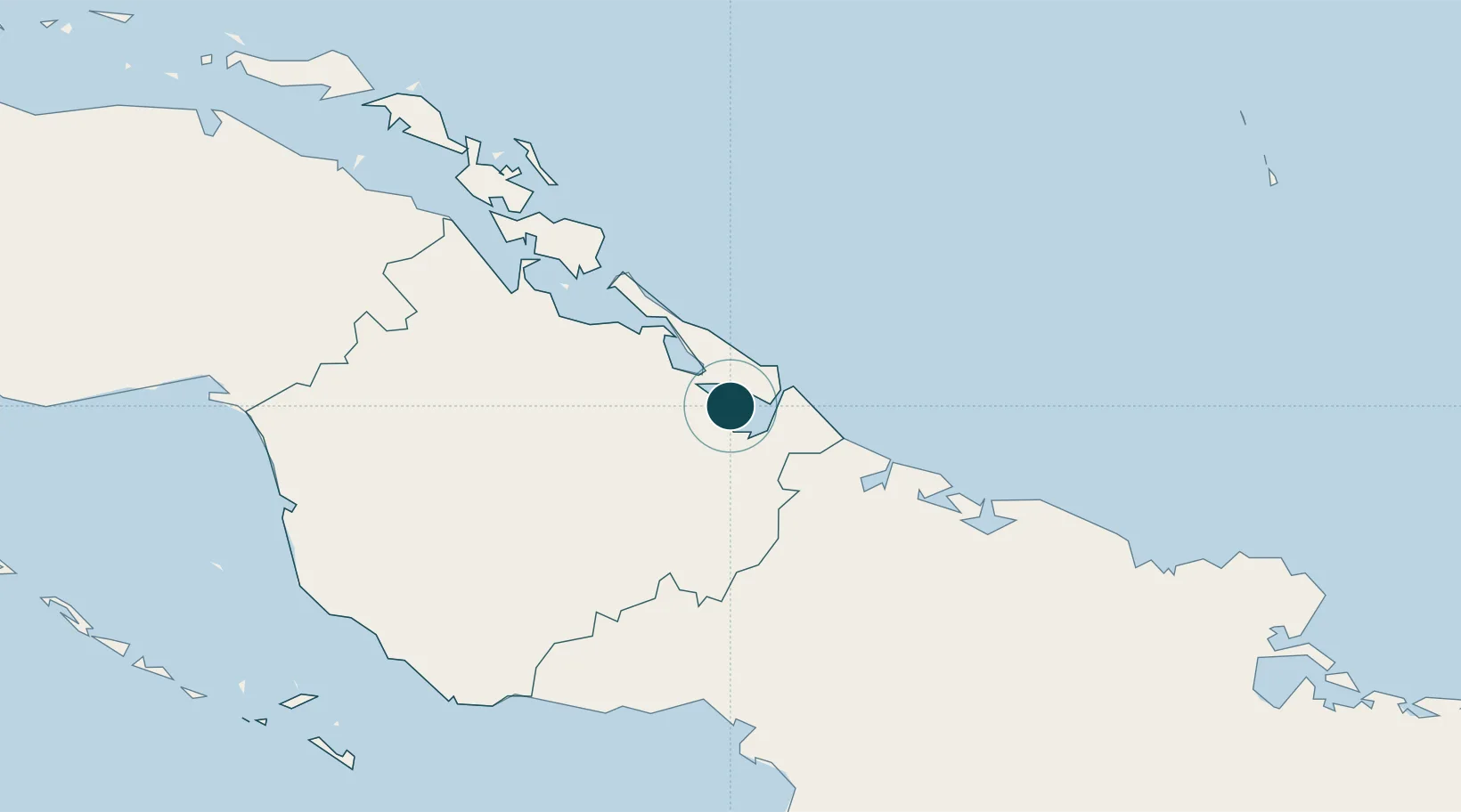
Location
Nearby Logistics Neighbours
Ports
- 1Manati51 km
- 2Puerto Padre82 km
- 3Guayabal101 km
- 4Santa Cruz del Sur120 km
- 5Manzanillo134 km
Cities
- 1Puerto Tarafa3 km
- 2Bufadero4 km
- 3Puerto de Pastelillo5 km
- 4Puerto Manatí49 km
- 5Camagüey70 km
Airports
Trade Zones
- 1Cazoumar Free Zone350 km
- 2Montego Bay Free Zone351 km
- 3Spanish Town Free Zone396 km
- 4Caymanas Special Economic Zone397 km
- 558 HWT Tech Park397 km
DatabookThe Record of Consolidated Knowledge
Cuba beyond logistics?