Large airport · Cuba
Abel Santamaria International AirportMUSC
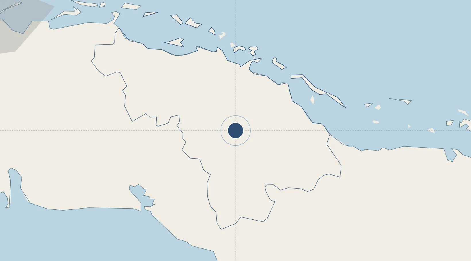
22.4922°, -79.9431°
9,898 ft
Longest runway
1
Runways
338 ft
Elevation
Runway & Layout

Radio Frequencies
TWR
118.1 MHz
SANTA CLARA TWR
Navaids
USC NDB Santa Clara 240 kHz
Runways · 1
| Runway | Dimensions | Surface | True heading | Lit |
|---|---|---|---|---|
| 08/26 | 9,898 × 148ft | Asphalt | 076° | ✓ |
Airport Specifications
IATA code
SNU
ICAO code
MUSC
Airport class
Large airport
Scheduled service
Yes
Runway surface
Asphalt
Served city
Santa Clara
Location
Nearby Logistics Neighbours
Airports
- 1Jaime Gonzalez Airport62 km
- 2Alberto Delgado Airport79 km
- 3Máximo Gómez Airport130 km
- 4Kawama Airport156 km
- 5Juan Gualberto Gomez International Airport164 km
Cities
- 1Sagua la Grande37 km
- 2Caibarién49 km
- 3Casilda81 km
- 4Boqueron102 km
- 5Tunas de Zaza104 km
Ports
- 1Caibarien49 km
- 2Isabela De Sagua51 km
- 3Cienfuegos65 km
- 4Casilda83 km
- 5Tunas De Zaza104 km
Trade Zones
- 1Mariel Special Development Zone297 km
- 2FTZ No. 281 Miami-Dade County350 km
- 3FTZ No. 032 Miami369 km
- 4FTZ No. 180 Miami (Wynwood)369 km
- 5Cayman Enterprise City384 km
DatabookThe Record of Consolidated Knowledge
Cuba beyond logistics?