Transport Functions
Port
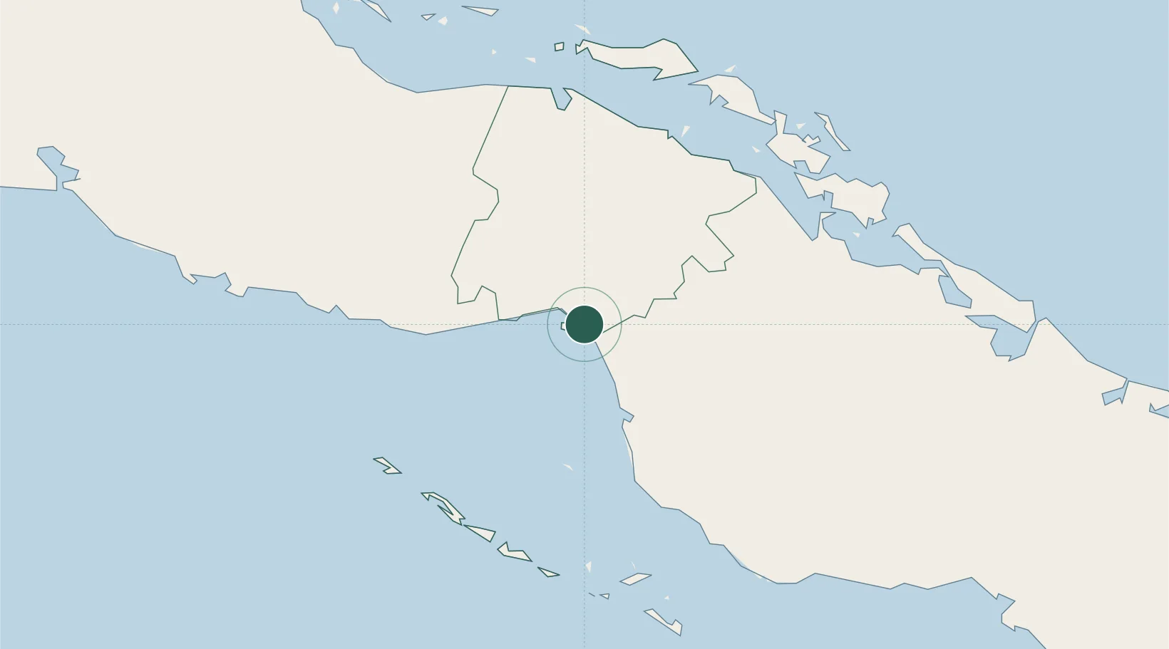
Location
Nearby Logistics Neighbours
Ports
- 1Jucaro19 km
- 2Palo Alto31 km
- 3Tunas De Zaza92 km
- 4Santa Cruz del Sur121 km
- 5Caibarien134 km
Airports
Trade Zones
- 1Cazoumar Free Zone355 km
- 2Montego Bay Free Zone356 km
- 3Cayman Enterprise City380 km
- 4Jamaica-Gansu Industrial Park417 km
- 5Vernamfield Aerotropolis and Logistics Hub435 km
DatabookThe Record of Consolidated Knowledge
Cuba beyond logistics?