Channel & Berth Profile
Pilotage, Tugs & Services
Pilotage compulsoryYES
Pilotage availableYES
Pilotage advisableYES
Tug assistanceYES
Potable waterNO
Diesel bunkersNO
MedicalYES
Facilities & Capabilities
Container—
Ro-Ro—
Liquid bulk—
Dry bulk—
Oil terminal—
Break bulk—
Dry dock—
Repairs—
BunkeringNO
Rail linkYES
Dangerous cargo—
ISPS security—
Harbour Specifications
Harbour size
Very Small
Harbour type
Open Roadstead
Shelter
Poor
Water body
Caribbean Sea; North Atlantic Ocean
Tidal range
1 m
Overhead limit
No
Pilotage
Yes
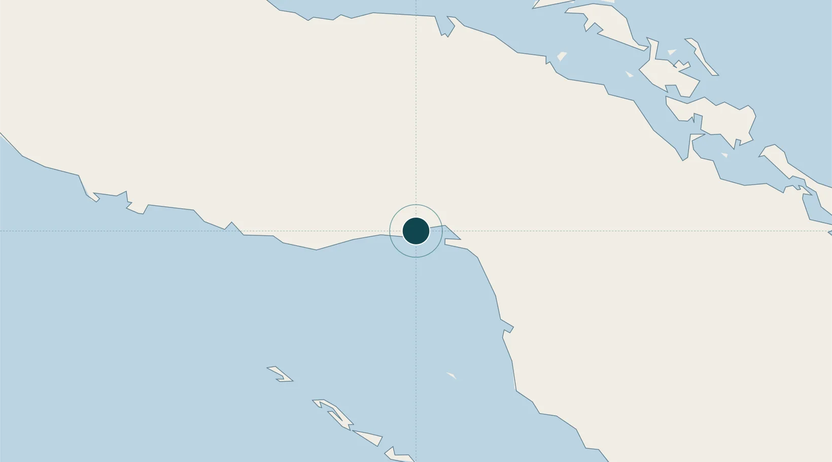
Location
Nearby Logistics Neighbours
Ports
- 1Palo Alto13 km
- 2Tunas De Zaza72 km
- 3Casilda118 km
- 4Caibarien120 km
- 5Santa Cruz del Sur136 km
Cities
- 1Palo Alto12 km
- 2Boca Grande19 km
- 3Morón59 km
- 4Boqueron64 km
- 5Tunas de Zaza72 km
Airports
Trade Zones
- 1Cazoumar Free Zone364 km
- 2Montego Bay Free Zone364 km
- 3Cayman Enterprise City368 km
- 4Jamaica-Gansu Industrial Park426 km
- 5Mariel Special Development Zone433 km
DatabookThe Record of Consolidated Knowledge
Cuba beyond logistics?