Foreign Trade Zone · United States

FTZ No. 281 Miami-Dade County Active
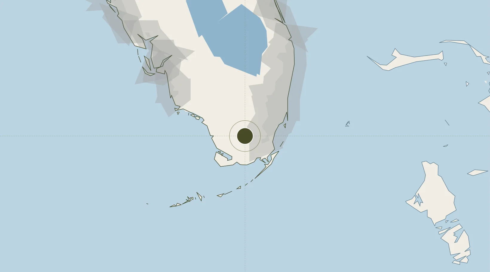
25.5582°, -80.7384°
61.0 km
Nearest port
19.6 km
Nearest airport

Gateway access

Nearest neighbours — logibook spatial index (haversine) over the source coordinates

Zone profile

Zone type
Foreign Trade Zone
Open Zone Map
Region
Florida
Open Zone Map
Status
Active
Open Zone Map
Management
Public
Open Zone Map
Operator
Miami-Dade County
Open Zone Map
Legal framework
Foreign-Trade Zones Act
Open Zone Map

Location

Location of ozm-4812
Natural Earth 10m (public domain) · Florida · ozm-4812 · 25.56, -80.74GoogleOSMYandex

Nearby Logistics Neighbours

Ports
  1. 1Miami61 km
  2. 2Port Everglades87 km
  3. 3Palm Beach151 km
  4. 4Key West156 km
  5. 5Boca Grande204 km
Nearest neighbours — logibook spatial index (haversine) over the source coordinates
Airports
  1. 1Miami Homestead General Aviation Airport20 km
  2. 2Miami Executive Airport32 km
  3. 3Homestead Air Reserve Base36 km
  4. 4Miami International Airport52 km
  5. 5Ocean Reef Club Airport53 km
Nearest neighbours — logibook spatial index (haversine) over the source coordinates
Cities
  1. 1Florida City28 km
  2. 2Naranja33 km
  3. 3University Park42 km
  4. 4Palmetto Bay43 km
  5. 5Kings Bay45 km
Nearest neighbours — logibook spatial index (haversine) over the source coordinates
Trade Zones
  1. 1FTZ No. 032 Miami50 km
  2. 2FTZ No. 180 Miami (Wynwood)60 km
  3. 3FTZ No. 025 Broward County85 km
  4. 4FTZ No. 241 Fort Lauderdale91 km
  5. 5FTZ No. 135 Palm Beach County151 km
Nearest neighbours — logibook spatial index (haversine) over the source coordinates
DatabookThe Record of Consolidated Knowledge
United States beyond logistics?
Browse databook

All Sources

Trade ZonesOpen Zone Map
CC BY
Portsthe NGA World Port Index
Public domain (US gov)
AirportsOurAirports
Public domain
LocationsUN/LOCODE
UN/LOCODE — free
← United States trade zones