Large airport · Cuba
Ignacio Agramonte International AirportMUCM
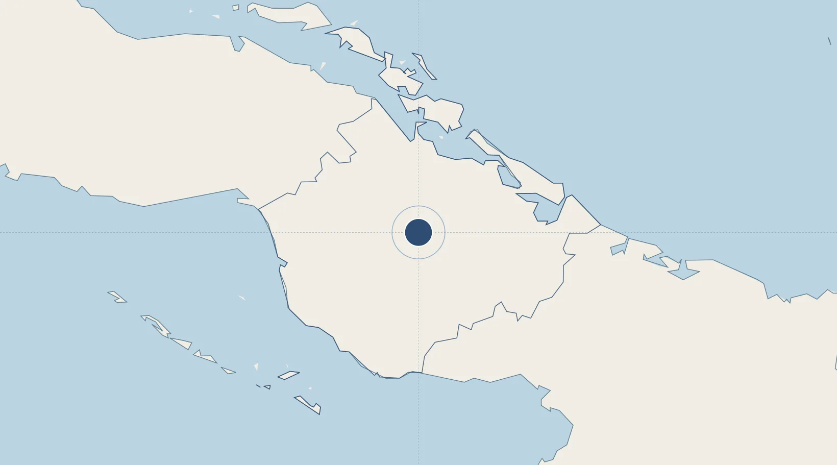
21.4199°, -77.8480°
9,842 ft
Longest runway
1
Runways
413 ft
Elevation
Runway & Layout

Radio Frequencies
TWR
118.5 MHz
AGRAMONTE TWR
APP
121.3 MHz
CAMAGUEY APP
A/G
126.9 MHz
CAMAGUEY RDO
A/G
1132.1 MHz
CAMAGUEY RDO
Navaids
UCM VOR-DME Camaguey 114.10 MHz
UCM NDB Camaguey 370 kHz
Runways · 1
| Runway | Dimensions | Surface | True heading | Lit |
|---|---|---|---|---|
| 07/25 | 9,842 × 148ft | Asphalt | 068° | ✓ |
Airport Specifications
IATA code
CMW
ICAO code
MUCM
Airport class
Large airport
Scheduled service
Yes
Runway surface
Asphalt
Served city
Camaguey
Location
Nearby Logistics Neighbours
Airports
- 1Hermanos Ameijeiras Airport106 km
- 2Máximo Gómez Airport118 km
- 3Jardines Del Rey Airport126 km
- 4Sierra Maestra International Airport149 km
- 5Carlos Manuel de Cespedes Airport171 km
Cities
- 1Camagüey8 km
- 2Nuevitas62 km
- 3Puerto Tarafa64 km
- 4Bufadero66 km
- 5Puerto de Pastelillo67 km
Ports
- 1Nuevitas Bay62 km
- 2Santa Cruz del Sur81 km
- 3Guayabal84 km
- 4Jucaro106 km
- 5Manati107 km
Trade Zones
- 1Cazoumar Free Zone329 km
- 2Montego Bay Free Zone329 km
- 3Jamaica-Gansu Industrial Park385 km
- 4Spanish Town Free Zone391 km
- 5Caymanas Special Economic Zone394 km
DatabookThe Record of Consolidated Knowledge
Cuba beyond logistics?