Transport Functions
Port
Road
Hub Profile
Place type
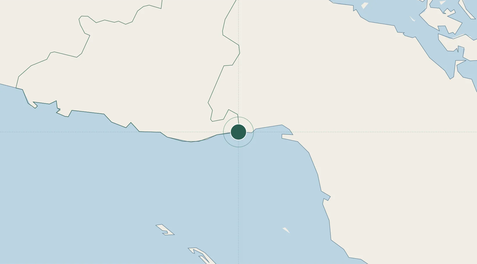
Populated place
Region
Sancti Spíritus Province
Time zone
America/Havana
Elevation
3 m
Location
Nearby Logistics Neighbours
Cities
- 1Júcaro13 km
- 2Boca Grande31 km
- 3Tunas de Zaza60 km
- 4Boqueron63 km
- 5Morón66 km
Ports
- 1Jucaro12 km
- 2Tunas De Zaza60 km
- 3Casilda106 km
- 4Caibarien116 km
- 5Santa Cruz del Sur143 km
Airports
Trade Zones
- 1Cayman Enterprise City358 km
- 2Cazoumar Free Zone365 km
- 3Montego Bay Free Zone366 km
- 4Mariel Special Development Zone423 km
- 5Jamaica-Gansu Industrial Park428 km
DatabookThe Record of Consolidated Knowledge
Cuba beyond logistics?