Seaport · Cuba

Palo AltoCUPAL

21.5833°, -78.9667°
Palo Alto is also a UN/LOCODE logistics hub →

Channel & Berth Profile

SEA LEVEL (CD)CHANNEL BEDAnchorage · 6.7 m
NGA World Port Index

Facilities & Capabilities

Container
Ro-Ro
Liquid bulk
Dry bulkYES
Oil terminal
Break bulkYES
Dry dock
Repairs
Bunkering
Rail link
Dangerous cargo
ISPS security
NGA World Port Index

Harbour Specifications

Water body
Caribbean Sea; North Atlantic Ocean
NGA World Port Index
Tidal range
0.5 m
NGA World Port Index

Location

Location of CUPAL
Natural Earth 10m (public domain) · Ciego de Ávila · CUPAL · 21.58, -78.97GoogleOSMYandex

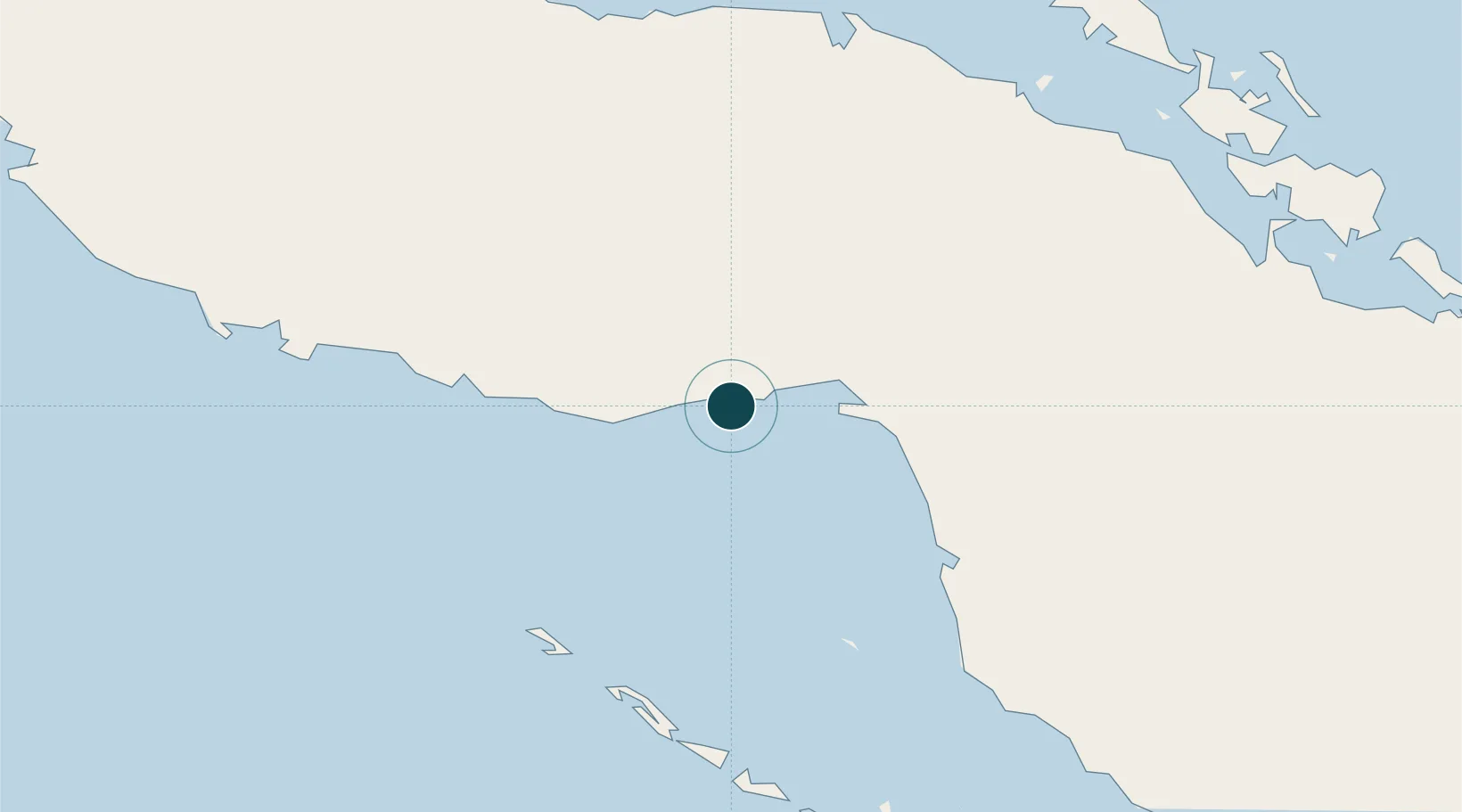
Nearby Logistics Neighbours

Ports
  1. 1Jucaro13 km
  2. 2Tunas De Zaza61 km
  3. 3Casilda107 km
  4. 4Caibarien118 km
  5. 5Santa Cruz del Sur142 km
Nearest neighbours — logibook spatial index (haversine) over the source coordinates
Cities
  1. 1Júcaro13 km
  2. 2Boca Grande31 km
  3. 3Tunas de Zaza61 km
  4. 4Boqueron65 km
  5. 5Morón68 km
Nearest neighbours — logibook spatial index (haversine) over the source coordinates
Airports
  1. 1Máximo Gómez Airport53 km
  2. 2Alberto Delgado Airport109 km
  3. 3Ignacio Agramonte International Airport117 km
  4. 4Jardines Del Rey Airport118 km
  5. 5Abel Santamaria International Airport143 km
Nearest neighbours — logibook spatial index (haversine) over the source coordinates
Trade Zones
  1. 1Cayman Enterprise City357 km
  2. 2Cazoumar Free Zone364 km
  3. 3Montego Bay Free Zone364 km
  4. 4Mariel Special Development Zone424 km
  5. 5Jamaica-Gansu Industrial Park426 km
Nearest neighbours — logibook spatial index (haversine) over the source coordinates
DatabookThe Record of Consolidated Knowledge
Cuba beyond logistics?
Browse databook

All Sources

Portsthe NGA World Port Index
Public domain (US gov)
AirportsOurAirports
Public domain
LocationsUN/LOCODE
UN/LOCODE — free
Trade Zonesthe World Bank SEZ database
CC BY 4.0
Trade ZonesOpen Zone Map
CC BY
← Cuba ports