Transport Functions
Rail
Road
Hub Profile
Place type
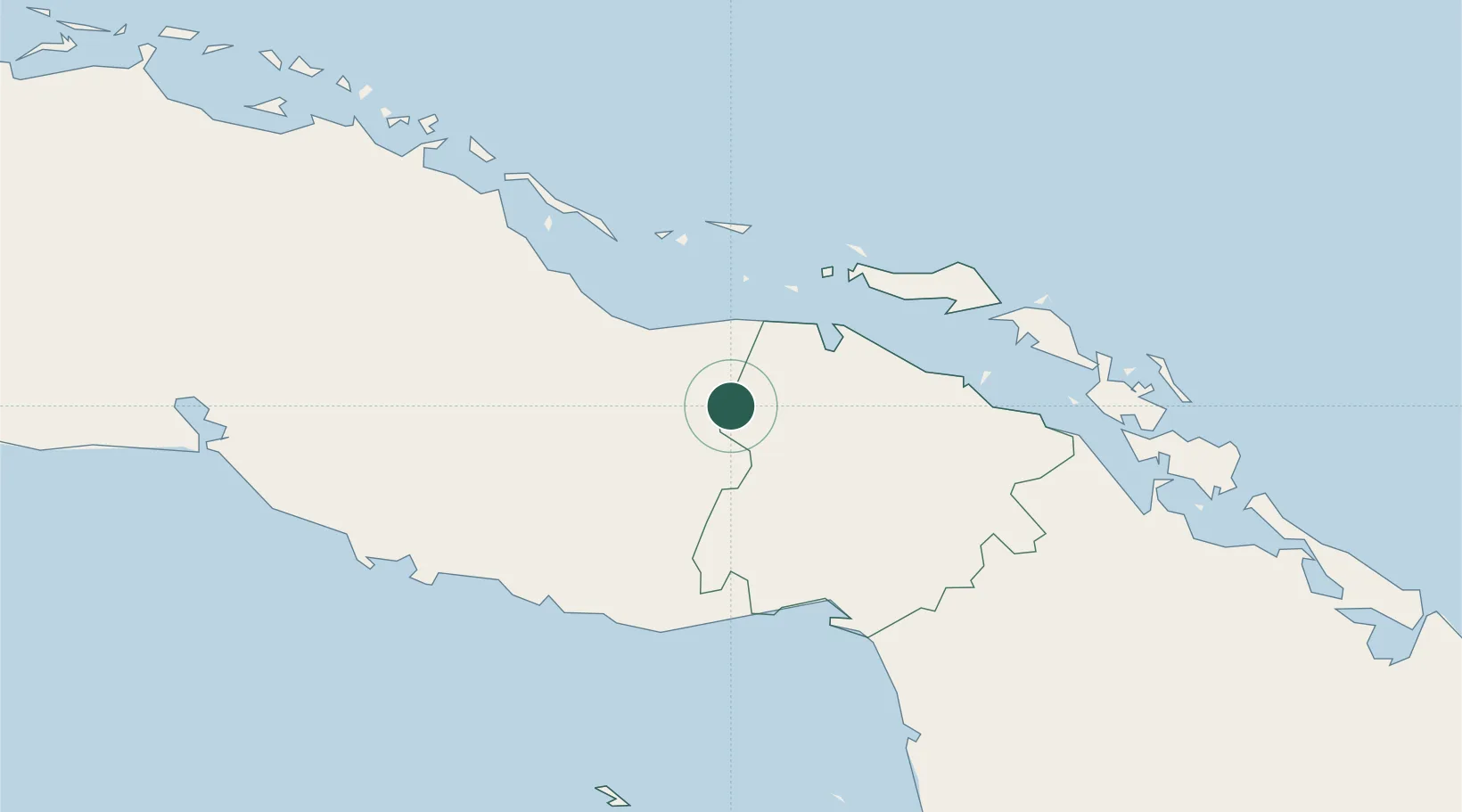
Populated place
Region
Ciego de Ávila Province
Time zone
America/Havana
Elevation
162 m
Location
Nearby Logistics Neighbours
Cities
- 1Morón42 km
- 2Caibarién61 km
- 3Júcaro62 km
- 4Palo Alto63 km
- 5Boca Grande74 km
Ports
- 1Caibarien62 km
- 2Jucaro64 km
- 3Palo Alto65 km
- 4Tunas De Zaza81 km
- 5Casilda110 km
Airports
- 1Máximo Gómez Airport28 km
- 2Jardines Del Rey Airport78 km
- 3Abel Santamaria International Airport102 km
- 4Alberto Delgado Airport110 km
- 5Jaime Gonzalez Airport144 km
Trade Zones
- 1Mariel Special Development Zone398 km
- 2Cayman Enterprise City402 km
- 3FTZ No. 281 Miami-Dade County416 km
- 4FTZ No. 180 Miami (Wynwood)422 km
- 5FTZ No. 032 Miami424 km
DatabookThe Record of Consolidated Knowledge
Cuba beyond logistics?