Runway & Layout

Airport Specifications
IATA code
BCQ
Airport class
Medium airport
Scheduled service
No
Served city
Brak
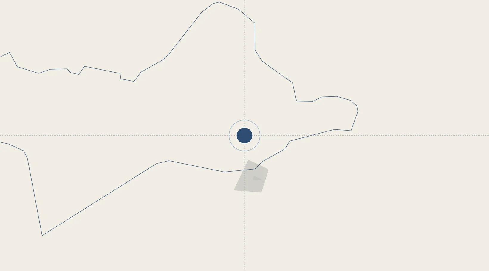
Location
Nearby Logistics Neighbours
Airports
- 1Sabha Airport76 km
- 2Sirt International Airport / Ghardabiya Airbase441 km
- 3Zarzaitine - In Aménas Airport457 km
- 4Ghat Airport497 km
- 5Ghadames Airport524 km
Cities
- 1Bu'ayrat al Hasun440 km
- 2I-N-Amenas466 km
- 3As Sidr518 km
- 4Misurata531 km
- 5El Choms556 km
Trade Zones
- 1Misurata Free Zone529 km
- 2Taminhent Free Zone584 km
- 3Zwara-Abu-Kemmash Free Trade Zone625 km
- 4Ben Guerdane Economic Free Zone664 km
- 5Zarzis Park of Economic Activities715 km
DatabookThe Record of Consolidated Knowledge
Libya beyond logistics?