Medium airport · Algeria
Zarzaitine - In Aménas AirportDAUZ
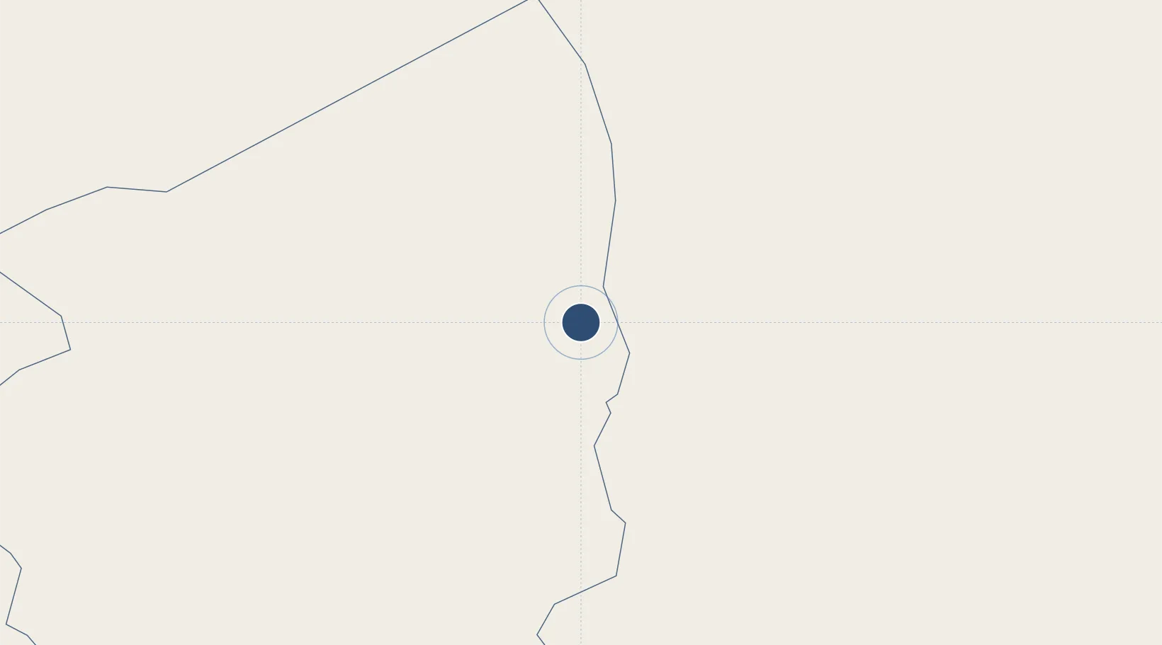
28.0515°, 9.6429°
9,843 ft
Longest runway
2
Runways
1,847 ft
Elevation
Runway & Layout

Radio Frequencies
TWR
119.7 MHz
RDO
889.4 MHz
Navaids
IMN VOR-DME In Amenas 112.90 MHz
ZAR NDB Zarzaitine 268 kHz
Runways · 2
| Runway | Dimensions | Surface | True heading | Lit |
|---|---|---|---|---|
| 05/23 | 9,843 × 148ft | Asphalt | 047° | ✓ |
| 14/32 | 7,218 × 98ft | Asphalt | 145° | ✓ |
Airport Specifications
IATA code
IAM
ICAO code
DAUZ
Airport class
Medium airport
Scheduled service
Yes
Runway surface
Asphalt
Served city
In Aménas
Location
Nearby Logistics Neighbours
Airports
- 1Illizi Takhamalt Airport179 km
- 2Ghadames Airport233 km
- 3Ghat Airport327 km
- 4El Borma Airport408 km
- 5Tiska Djanet Airport419 km
Cities
- 1I-N-Amenas9 km
- 2Rhourde Nouss288 km
- 3Medenine595 km
- 4Az Zawiyah600 km
- 5Zarzis622 km
Ports
- 1Abu Khammash595 km
- 2Az Zawiya605 km
- 3Zarzis622 km
- 4Mina Tarabulus (Tripoli)637 km
- 5Gabes652 km
Trade Zones
- 1Taminhent Free Zone539 km
- 2Zwara-Abu-Kemmash Free Trade Zone590 km
- 3Ben Guerdane Economic Free Zone595 km
- 4Zarzis Park of Economic Activities620 km
- 5Misurata Free Zone717 km
DatabookThe Record of Consolidated Knowledge
Algeria beyond logistics?