Free Trade Zone · Tunisia
Ben Guerdane Economic Free Zone Under Development
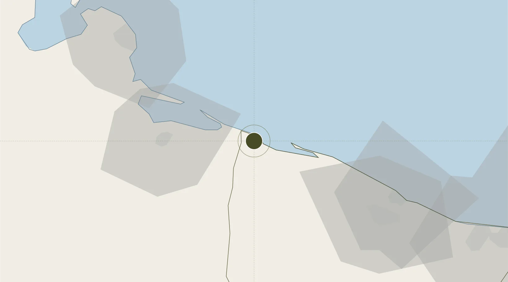
33.1425°, 11.5536°
150 ha
Zone area
25.9 km
Nearest port
81.1 km
Nearest airport
Gateway access
Zone profile
Zone type
Free Trade Zone
Region
An Nuqat al Khams
Status
Under Development
Management
Public-Private Partnership
Operator
Tunisian Trade Office
Legal framework
Law No. 92-81 of 31st August 1992 on Economic Activities Parks
Location
Nearby Logistics Neighbours
Ports
- 1Abu Khammash26 km
- 2Zarzis57 km
- 3Didon Terminal78 km
- 4Houmt Souk105 km
- 5Az Zawiya115 km
Airports
- 1Okba Ibn Nafa Air Base81 km
- 2Djerba Zarzis International Airport109 km
- 3Remada Air Base144 km
- 4Mitiga International Airport164 km
- 5Gabès Matmata International Airport165 km
Cities
- 1Zarzis57 km
- 2Didon77 km
- 3Medenine101 km
- 4Az Zawiyah117 km
- 5Tripoli155 km
Trade Zones
- 1Zwara-Abu-Kemmash Free Trade Zone51 km
- 2Zarzis Park of Economic Activities56 km
- 3Taminhent Free Zone80 km
- 4Misurata Free Zone354 km
- 5Malta Freeport404 km
DatabookThe Record of Consolidated Knowledge
Tunisia beyond logistics?