Channel & Berth Profile
Pilotage, Tugs & Services
Pilotage compulsoryYES
Pilotage availableYES
Tug assistanceYES
Potable waterYES
Diesel bunkersYES
MedicalYES
Garbage disposalYES
Facilities & Capabilities
Container—
Ro-Ro—
Liquid bulk—
Dry bulk—
Oil terminal—
Break bulk—
Dry dock—
RepairsNO
BunkeringYES
Rail link—
Dangerous cargo—
ISPS security—
Harbour Specifications
Harbour size
Very Small
Harbour type
Coastal (Natural)
Shelter
Fair
Water body
Mediterranean Sea; North Atlantic Ocean
Pilotage
Yes
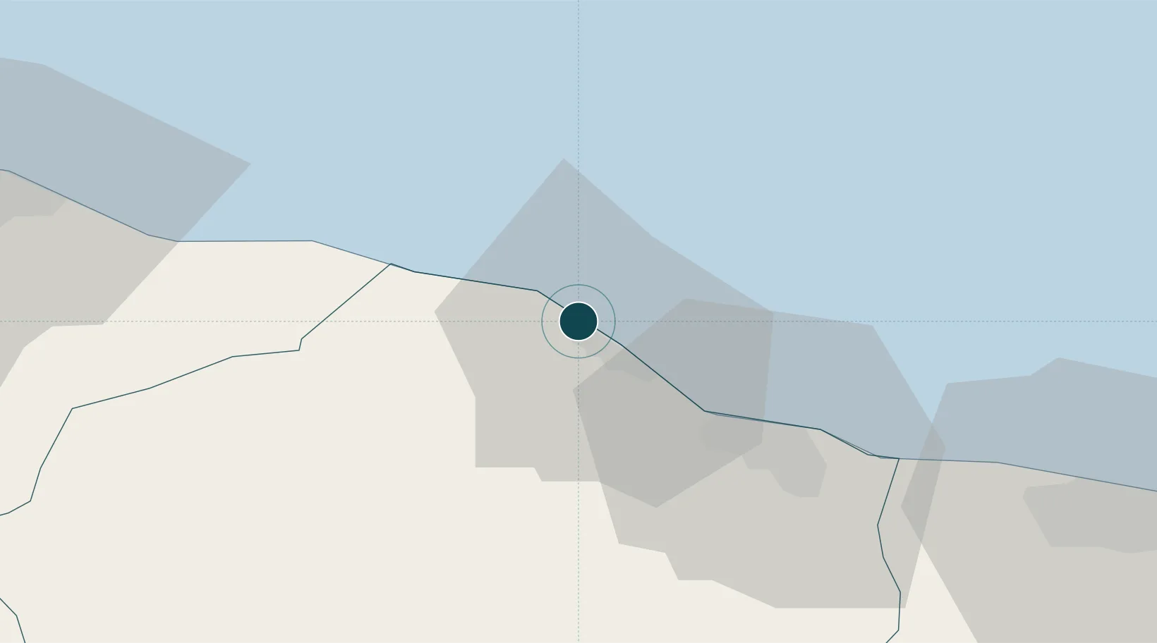
Location
Nearby Logistics Neighbours
Ports
- 1Misratah97 km
- 2Mina Tarabulus (Tripoli)103 km
- 3Az Zawiya144 km
- 4Bouri Oil Field202 km
- 5Abu Khammash232 km
Cities
- 1Al Khums1 km
- 2El Choms2 km
- 3Misurata97 km
- 4Tripoli103 km
- 5Mellitah (Qasr Ahmed)103 km
Airports
Trade Zones
- 1Misurata Free Zone97 km
- 2Zwara-Abu-Kemmash Free Trade Zone209 km
- 3Taminhent Free Zone220 km
- 4Ben Guerdane Economic Free Zone257 km
- 5Zarzis Park of Economic Activities306 km
DatabookThe Record of Consolidated Knowledge
Libya beyond logistics?